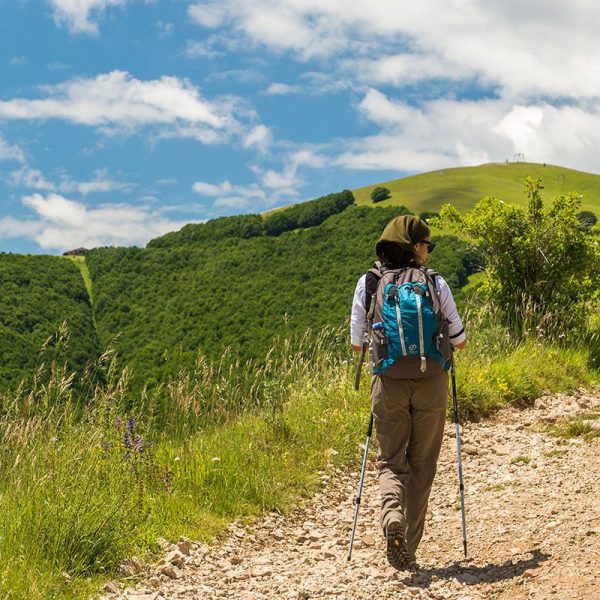
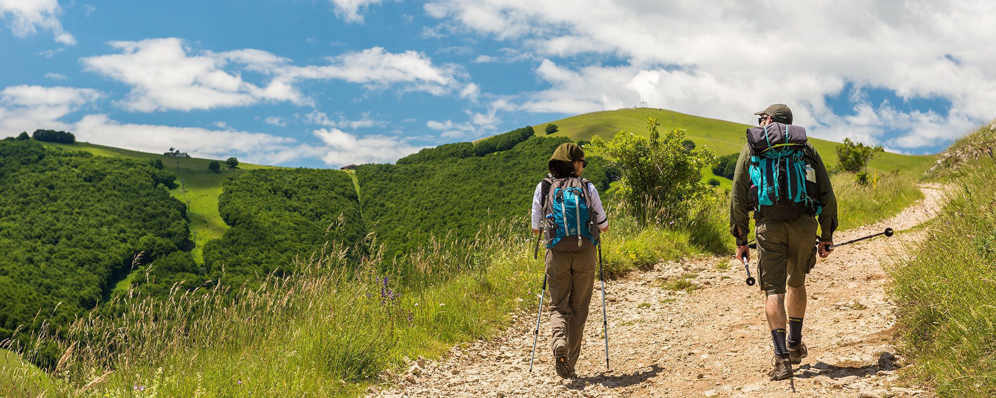
DISTANZA: 18,8 KM
ASFALTO: 8,2 KM
STERRATO: 5,15 KM
SENTIERO: 5,45 KM
TEMPO DI PERCORRENZA: 6 ORE
DIFFICOLTÀ: MEDIA
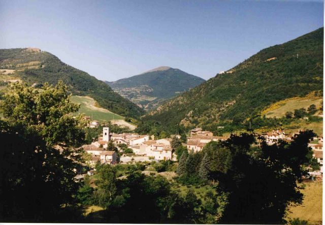
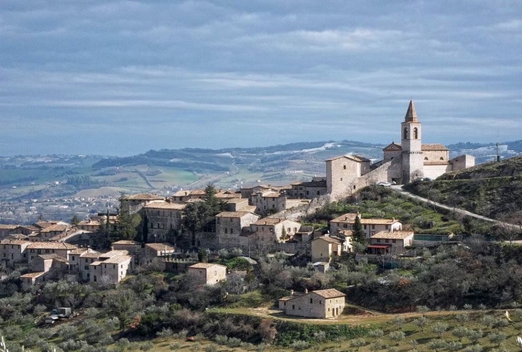
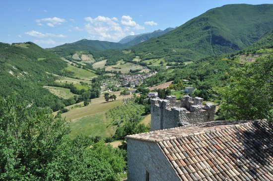
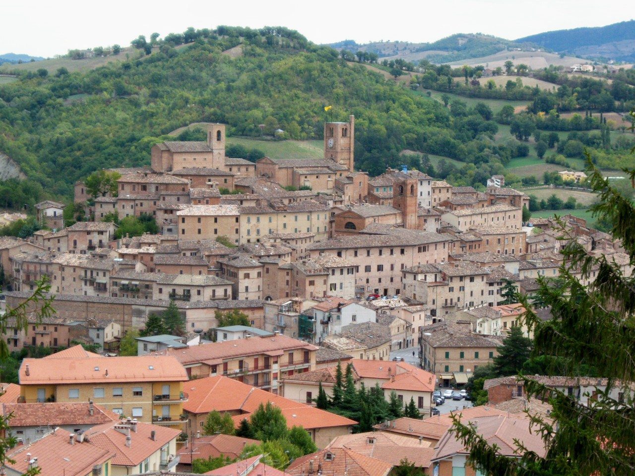
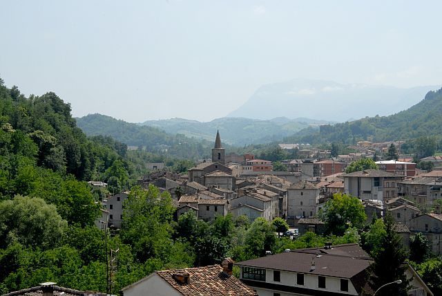
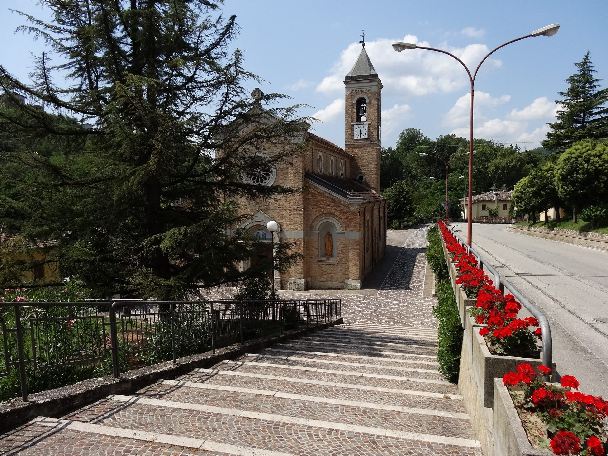
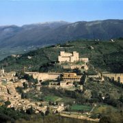
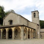
Si parte da Colfiorito percorrendo Via Plestia. Una volta raggiunta la Chiesa di Plestia, si prosegue fino all’abitato di Taverne, oltrepassato il quale si percorre la strada asfaltata dell’altopiano per circa 3 km. fino a raggiungere località Fonte delle Mattinate. 50 mt. prima dell’imbocco sulla statale si gira a destra per per uno sterrato, chiuso ai mezzi da una sbarra, che resta in quota sulla destra dell’alveo del fiume Chienti. Il sentiero sale fino a un colle alla cui sommità c’è un quadrivio di sterrati. Tenersi su quello più a sinistra in discesa fino all’imbocco del sentiero a sinistra che scende per ripidi tornanti verso Serravalle di Chienti. Attraversato il paese si raggiunge la frazione di Bavareto percorrendo la strada che si snoda parallela alla statale. Da qui parte il sentiero lungo fiume fino ad una piccola centrale idroelettrica che costringe a guadare il fiume all’altezza di una piccola diga. Si passa sotto il ponte della statale e si prosegue su sterrato fino alla frazione di Gelagna Bassa. Il sentiero continua per circa 1,2 km, dopo di che, all’altezza di un ponte romanico, si prosegue su strada sterrata che sale fino al Santuario della Madonna di Col dei Venti (2,2 km.). Dal Santuario si ridiscende per ripido sentiero verso l’abitato di Muccia.


