Km 24 – Tempo di percorrenza 8 h e 10 min
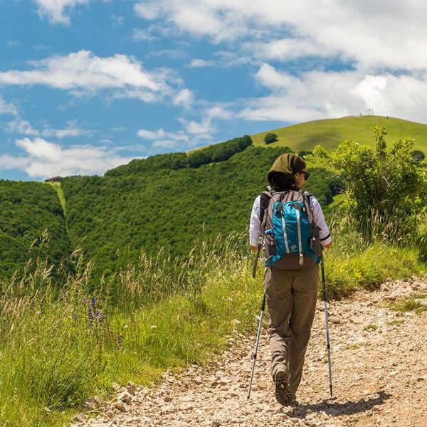
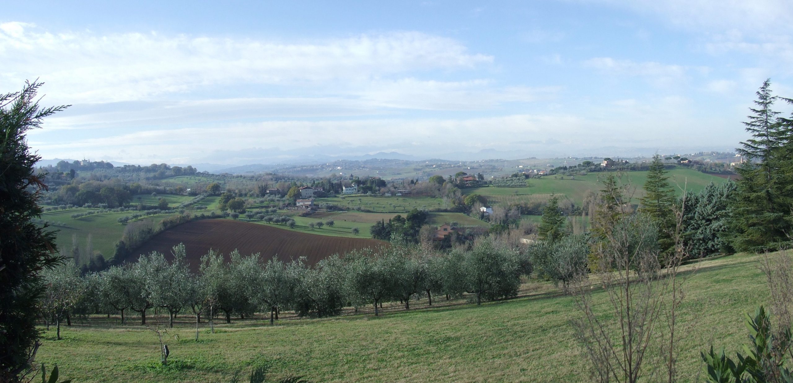
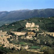
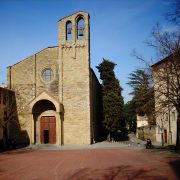
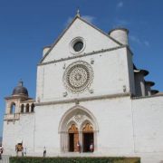
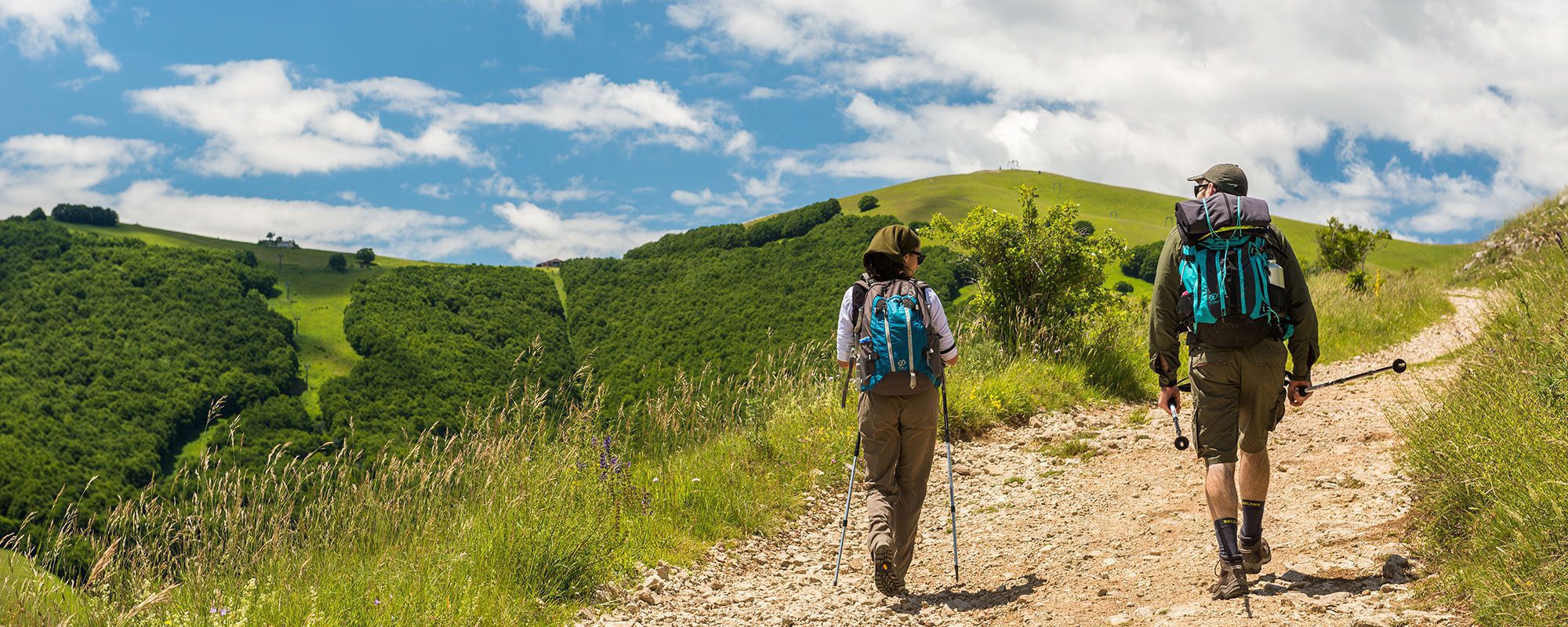
Questa tappa accorcia il percorso ideato in origine, congiungendo direttamente Balze a La Verna, eliminando la tappa intermedia Balze-Verghereto. Si svolge tra Romagna e Toscana, in un paesaggio che sui crinali spazia tra la Valmarecchia, la Valle del Savio e la Valtiberina. E’ ottimamente segnata da segnavia bianco-rossi, integrati dalla Tau gialla che identifica tutta la Via di San Francesco da Rimini a Roma. Usciti da Balze, si percorre la strada asfaltata per Verghereto, fino alla località Falera, dove parte a destra uno stradello che sale verso la rocciosa parete del Monte Fumaiolo. Si procede per pascoli e tratti boschivi, seguendo le indicazioni per Montecoronaro, piccolo borgo dove è possibile trovare ristoro in un bar. Dopo il paese e un lungo tratto di strada asfaltata, inizia un sentiero che, con lunga salita attraverso boschi, conduce al Poggio dei Tre Vescovi (1238 m). Qui il sentiero di crinale, che è parte di un’antica strada medievale, si dirige decisamente a sud costeggiando il confine della Riserva Naturale Alta Valle del Tevere e, dopo un tratto pianeggiante, raggiunge un poggio da cui si vede il Monte Penna, inconfondibile per la grande e piatta sommità, dietro cui sorge La Verna. Il sentiero diviene una pista tracciata nel bosco ceduo che raggiunge un percorso trasversale e, verso destra, una larga strada sterrata. La si segue in ambiente aperto tra i pascoli, raggiungendo il Passo delle Gualanciole e, dopo alcuni chilometri, il Passo delle Pratelle (1075 m), punto di congiunzione con il percorso francescano che porta da La Verna a Rieti. Si gira sulla pista a destra sul crinale, prima tra i prati, poi nella pineta e quindi nella faggeta, si sale al grande ripiano prativo e panoramico del Monte Calvano, posto all’ingresso del bosco (1253 m). Si scende ripidamente alla Croce della Calla (1135m), sotto la parete del Monte Penna. La si segue verso sinistra raggiungendo una stradina più larga che verso destra nella faggeta porta al Santuario della Verna (1128m).


