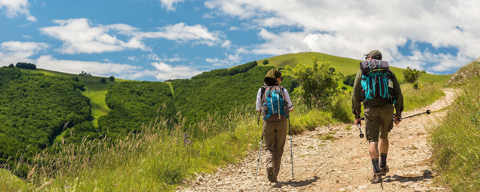
Tipo di itinerario: tematico
Partenza: Valfabbrica
Arrivo: Perugia
Lunghezza (km): 28.2
Distanza: lunga
Tempo di percorrenza: ore 7 min.
Difficoltà: escursionistico difficile
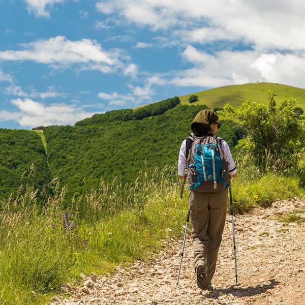
Dalla piazza di Valfabbrica si prende via San Benedetto, verso una chiesina. Molti tratti fino a Perugia sono interessati dai lavori di costruzione della nuova quattro corsie; bisogna quindi prestare attenzione. Superato il ponte sul fiume Chiascio, all’incrocio (km 0,75) si gira a sinistra. Oltrepassata la stazione ecologica (km 2,10), inizia la salita su asfalto verso Monteverde. Si sale in maniera progressiva e senza strappi: passo dopo passo, lo sguardo si allarga sulla stretta valle di Valfabbrica.
Al termine della salita (km 5,5) si raggiunge Monteverde, 545 mslm, dove si scorge la forma urbana di Perugia. Al bivio si prende a sinistra in discesa per giungere a Pianello (km 8,9). Giunti all’incrocio con via delle Marmore, si gira a destra per lasciare l’abitato. Questo tratto è molto trafficato e bisogna fare attenzione. Prima di raggiungere uno svincolo, al bivio segnalato (km 10,57) si gira a sinistra. Al nuovo bivio segnalato (km 11,15) si gira a destra in salita su una strada sterrata in mezzo ai campi.
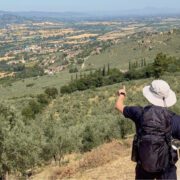
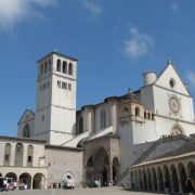
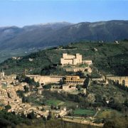
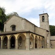
Al termine della salita si gira a sinistra e poi si gira di nuovo a sinistra su via Montefalco (km 13,10) e si giunge al castello di Ripa (km 14). Si attraversa longitudinalmente il borgo e si raggiunge il Belvedere sulla piazzetta del Montarone, da dove si riconoscono Assisi e la Basilica di Santa Maria degli Angeli.
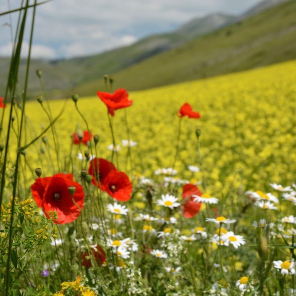
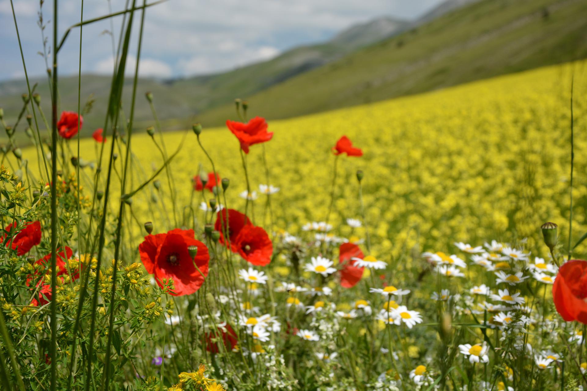
Si riprende il cammino, scendendo lungo le scalette. Giunti sulla strada asfaltata si gira verso via degli Arnati. Si prosegue prima in discesa e poi in piano, tra casali di campagna e coltivazioni di olivo. Si inizia a salire su una strada sterrata fi no a raggiungere il segnale (km 16,10) per Sant’Egidio, e si prosegue sempre in leggera salita. Raggiunto il bivio segnalato (km 16,8), si scende a sinistra su via del Richiavo, lasciando la strada asfaltata. Si cammina immersi nel paesaggio della campagna perugina. Giunti a una croce (km 18,7), si gira a sinistra e si giunge nel centro abitato di Lidarno. All’incrocio segnalato, si volta a sinistra su strada asfaltata.
In prossimità del cavalcavia sulla E45 (km 19,3), bisogna prestare molta attenzione per la presenza di uno svincolo trafficato. Si prosegue seguendo le indicazioni per Pontevalleceppi, sempre dritto su via Casciolano. Giunti a un incrocio (km 21,5), si prosegue dritto su via Bologna, e poi si gira a sinistra su via Ravenna.
Giunti alla chiesa di Santa Maria Maddalena si gira a destra per raggiungere il percorso verde lungo il fiume Tevere (km 22,3). Attraversato un ponte pedonale, si cammina fino a giungere in prossimità della Torre di Pretola (km 23). Si prende via Forlì, e si prosegue verso il ponte ferroviario. Inizia una salita, prima dolce e poi in forte pendenza.
Raggiunto un bivio ben segnalato, si prosegue dritto su strada sterrata, con strappi in forte pendenza. Dopo poco meno di 1 km si raggiunge un incrocio (km 25,5), dove si sale a sinistra su via Eugubina. Si prosegue sulla strada trafficata fi no a giungere a una rotatoria (km 26,7).
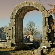
Si prosegue dritto per circa 500 m su via San Giuseppe in ripida salita fino a raggiungere la medievale Porta Sant’Antonio. Da qui si tralasciano i segnali, che indicherebbero di proseguire a destra, e oltrepassata la porta medievale si scende su corso Bersaglieri. All’incrocio si gira a destra su via Pinturicchio e si raggiunge l’imponente Arco Etrusco (km 27,8). Oltrepassato l’arco, dopo un’ultima salita su via Ulisse Rocchi, si raggiungono la Cattedrale di San Lorenzo e il cuore medievale di Perugia (km 28,2).


