DISTANZA: 25,4 KM
ASFALTO: 9,81 KM
STERRATO: 9,54 KM
SENTIERO: 6,05 KM
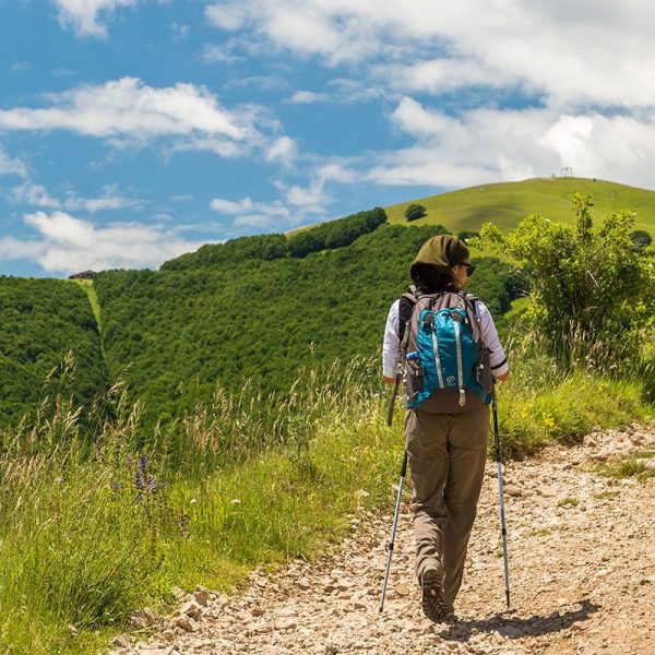
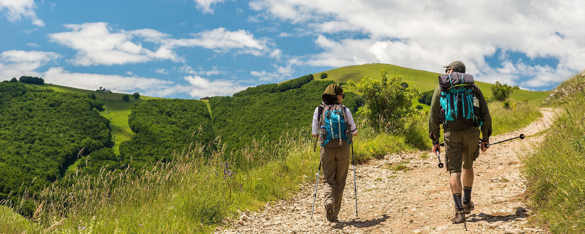
TEMPO DI PERCORRENZA: 8 ORE
DIFFICOLTÀ: IMPEGNATIVO
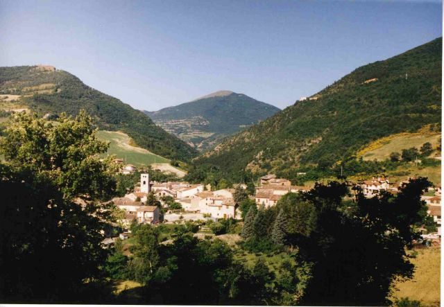
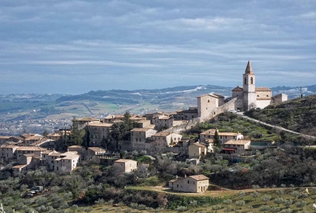
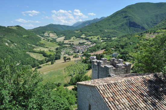
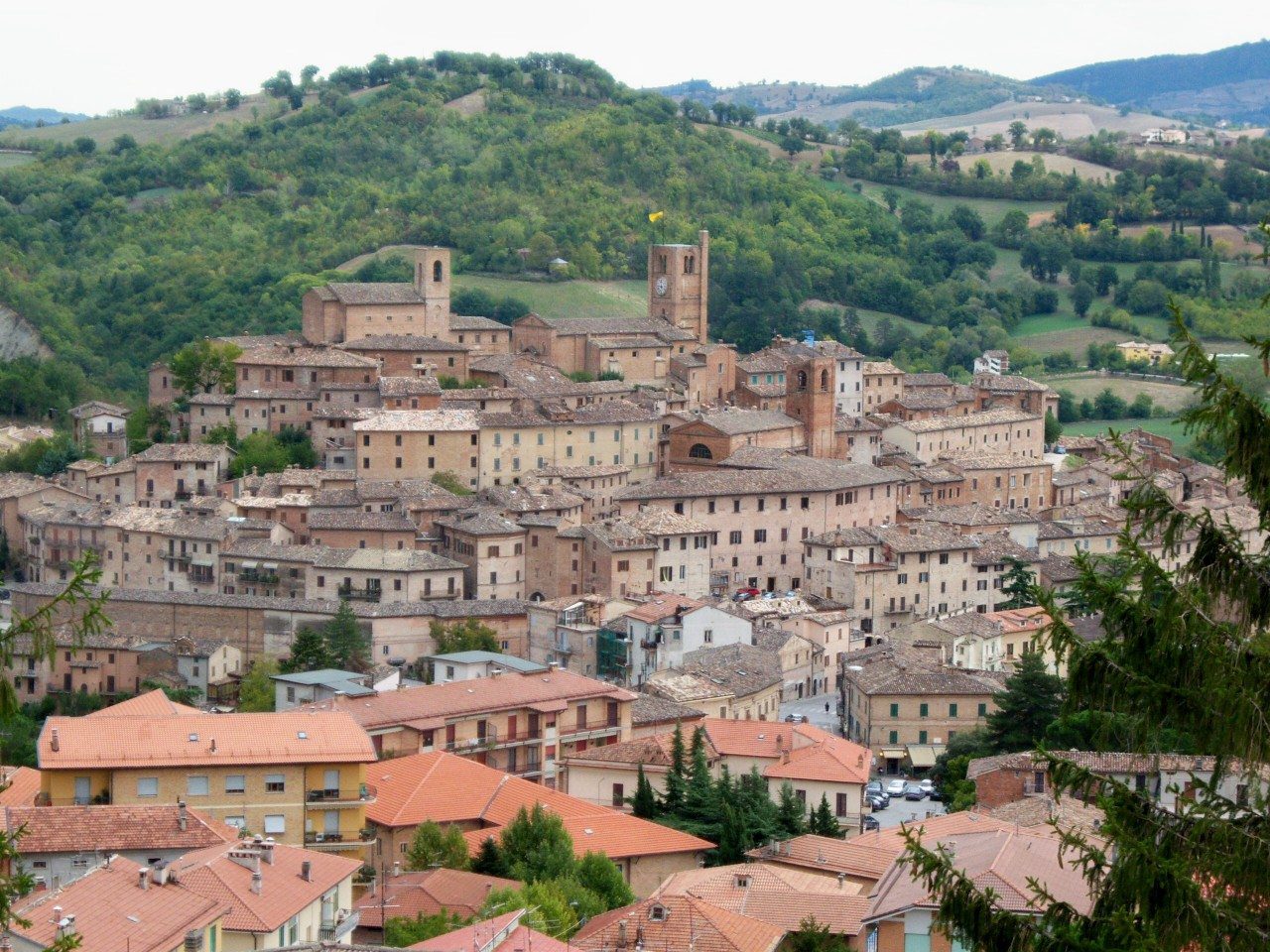
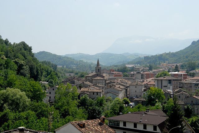
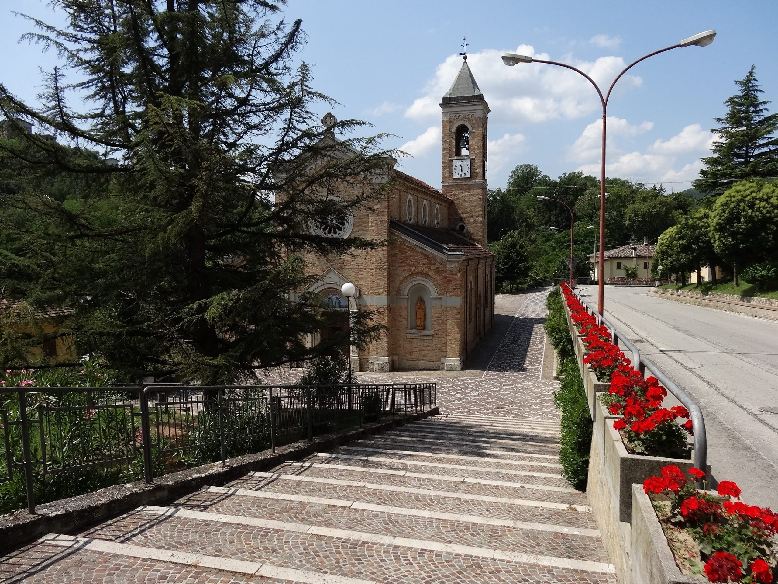
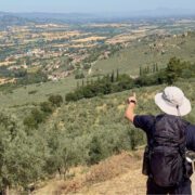
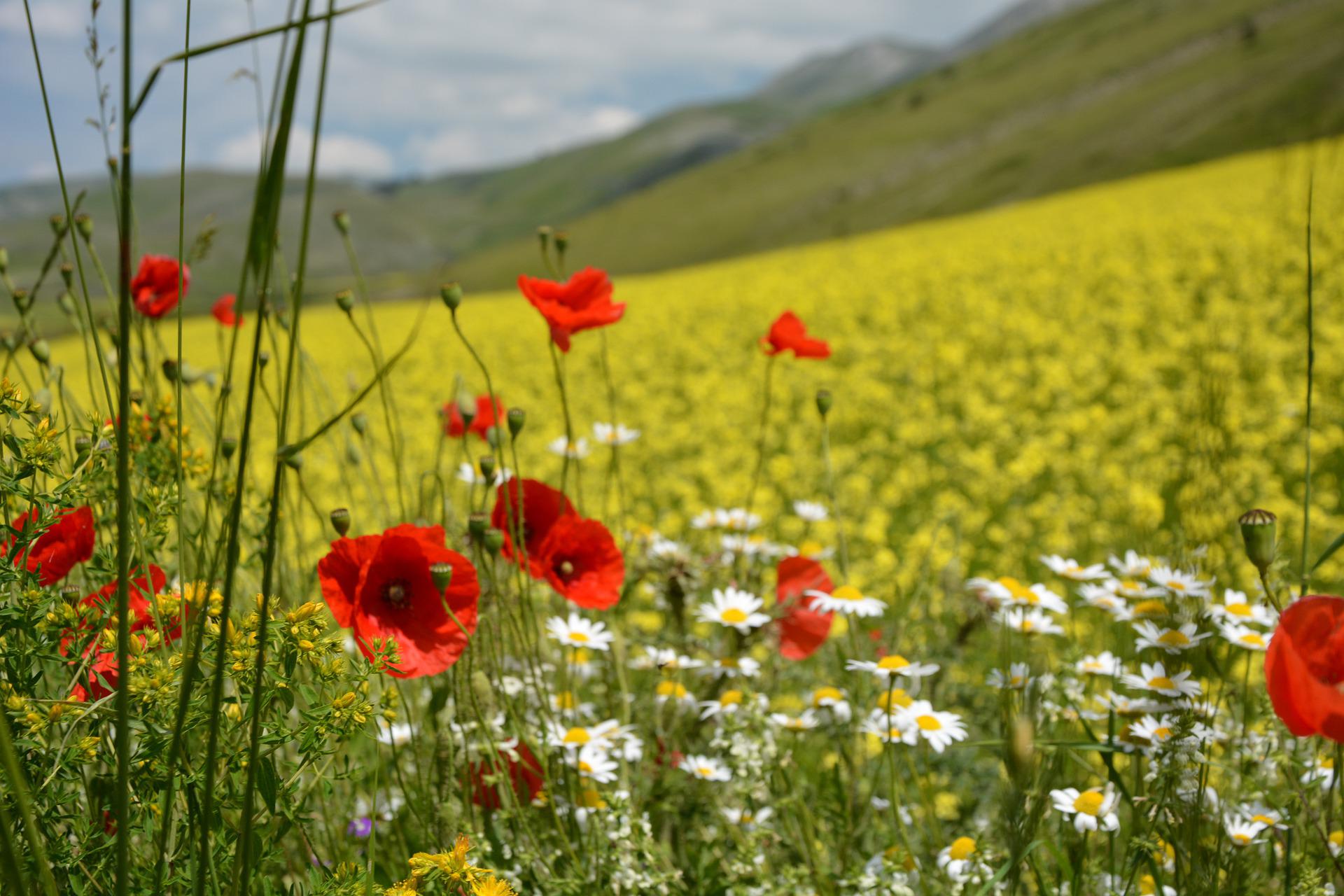
Dal Ponte della Liberazione di Foligno si percorre su sentiero l’argine sinistro del fiume Topino in direzione Nord-Est e dopo 800 mt. si imbocca la pista ciclabile che costeggia il fiume. Passati sotto il ponte della SS3, si prosegue mantenendosi sulla destra fino a raggiungere via Antonio Allegri. Si gira a destra e la si percorre per circa 450 mt. fino alla casa numero civico 11 che si incontra sulla destra. Subito si piega di nuovo a destra su un sentiero che si immette su sterrato fino a raggiungere via Donato Bramante e successivamente Via Scanzano. Attraversato il fiume su ponte e di seguito a S.P. 449 si entra nell’abitato di Vescia- Scanzano per imboccare a destra Via dei Frantoi. La strada prosegue verso Belfiore per Via del Molino e via Borgaccio e continua poi in salita in via Altolina fino a raggiungere, imboccando un sentiero sulla destra, la valle omonima famosa per le sue cascate. Il sentiero si snoda tortuoso in salita per entrare nell’abitato di Pale: dalla piazzetta del fontanile si imbocca sulla sinistra un sentiero di 800 mt. che conduce a Ponte Santa Lucia da cui, per strada asfaltata, si raggiunge dopo 2 km. la frazione di Sostino che si supera proseguendo in direzione Franca. Dopo 5 km. di strada brecciata ed aver oltrepassato il bivio per Franca, si gira a sinistra percorrendo 600 mt. fino a raggiungere la strada asfaltata che da Colfiorito conduce a Capodacqua all’altezza della Chiesa della Madonna di Ricciano. La si percorre per 160 mt. in direzione Capodacqua e si gira a destra per prendere un sentiero che conduce sul crinale tra Seggio e Forcatura (1,4 km.); all’incrocio girare a destra su strada sterrata che conduce dopo 2,1 km. all’abitato di Forcatura, da dove, proseguendo su asfalto si raggiunge dopo 3 km. il paese di Colfiorito.


