Tipo di itinerario: tematico
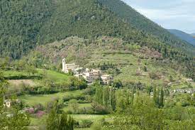
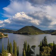
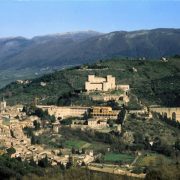
Partenza: Piediluco
Arrivo: Arrone
Lunghezza (km): 13
Distanza: breve
Tempo di percorrenza: ore 4 min.
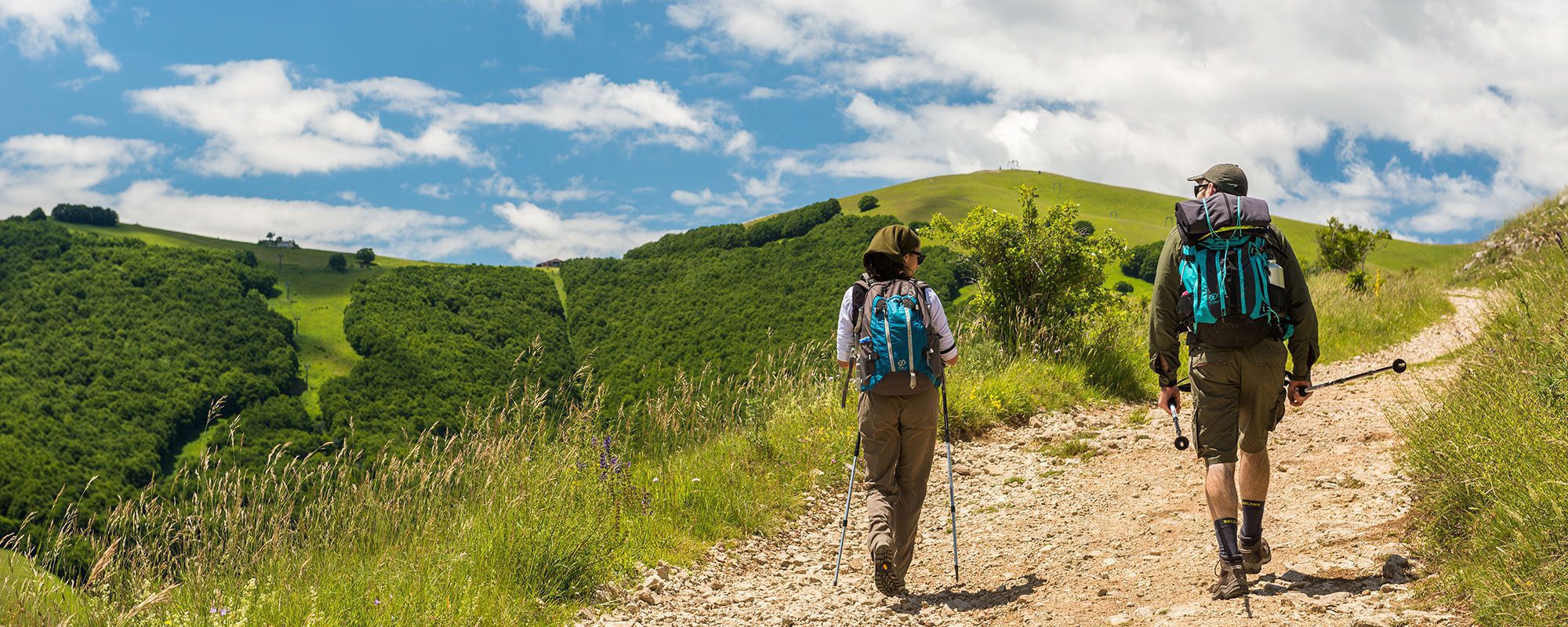
Difficoltà: escursionistico facile
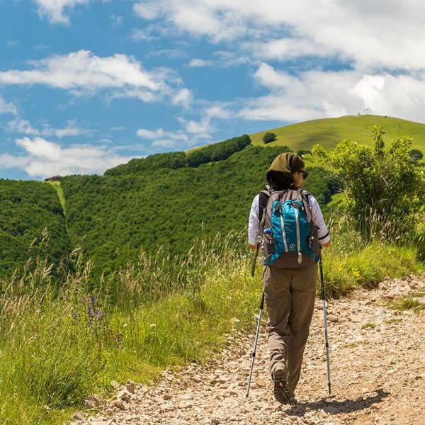
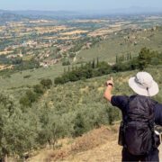
Si parte da Piediluco. Dando le spalle al santuario francescano, si prende a destra e si prosegue dritto per lasciare il paese e il suo incantevole lago. Si gira a sinistra (km 0,7) per attraversare il ponticello. Si prosegue a sinistra in direzione Terni e Cascata delle Marmore. Il primo tratto è su asfalto e costeggia le sponde del lago.
All’altezza del circolo canottieri di Piediluco (km 1,47), posto sulla sinistra, si attraversa la strada e si sale sulle scalette per evitare una curva pericolosa. Giunti sul piazzale dell’albergo, si scende a sinistra per riprendere la strada principale in Vocabolo Mazzelvetta. Si prosegue su un rettilineo, con passaggio di veicoli a velocità sostenuta. Superata un’abitazione sulla destra, all’altezza di una curva (km 2,5), si lascia la strada asfaltata seguendo il segnale a sinistra, e si supera un varco nel guardrail. Si prosegue su strada sterrata lungo il corso del fiume Velino.
Usciti su un incrocio (km 3,2), lo si attraversa e si prosegue dritto, tenendo sulla destra un ristorante, e si gira a sinistra in discesa, oltrepassando il guard-rail. Il cammino è piacevolissimo, tra i monti e lungo l’argine del corso d’acqua. Superata una sbarra (km 5,1), si prosegue verso la pineta, tenendosi sulla sinistra. All’incrocio (km 5,33) con la strada trafficata si gira a sinistra e si prosegue all’interno del guard-rail.
Raggiunto il centro abitato di Marmore (km 6), all’altezza del segnale Cascata delle Marmore, si gira a destra su Vocabolo Cascata, costeggiando un edificio dalla recinzione blu a cerchi bianchi. In corrispondenza di una biforcazione, all’angolo con un ristorante, si prosegue dritto in direzione del Belvedere. Si oltrepassa quindi il monumento a Libero Liberati.
Dopo il camping, si prosegue sulla strada principale. Raggiunto un piazzale con una ringhiera grigia sulla sinistra, si entra nell’area del Parco fluviale del Nera. Inizia un tratto nel bosco e in discesa su una comoda carrareccia, con brevi tratti dove la pendenza aumenta, ma senza creare difficoltà.
Si supera un ponticello in muratura (km 6,8) e si prosegue all’ombra della fitta vegetazione. Al termine della discesa (km 7,25), raggiunto un bivio, si prosegue in piano a destra, tralasciando la strada a sinistra. Il cammino scorre in piano lungo la Valle del fi ume Nera, o Valnerina, in alcuni tratti lambendo le sponde del fiume, in altri sviluppandosi parallelo al di là dei campi coltivati. Terminata la strada sterrata (km 7,8), si prosegue su asfalto, oltrepassando una croce in ferro. Come sempre i segnali guidano il cammino, e al bivio (km 8,32) si prende a sinistra, sempre sulla strada asfaltata.
Giunti in prossimità del ponte, senza oltrepassarlo, si prende a destra costeggiando il fiume Nera.
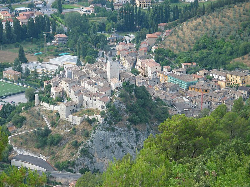
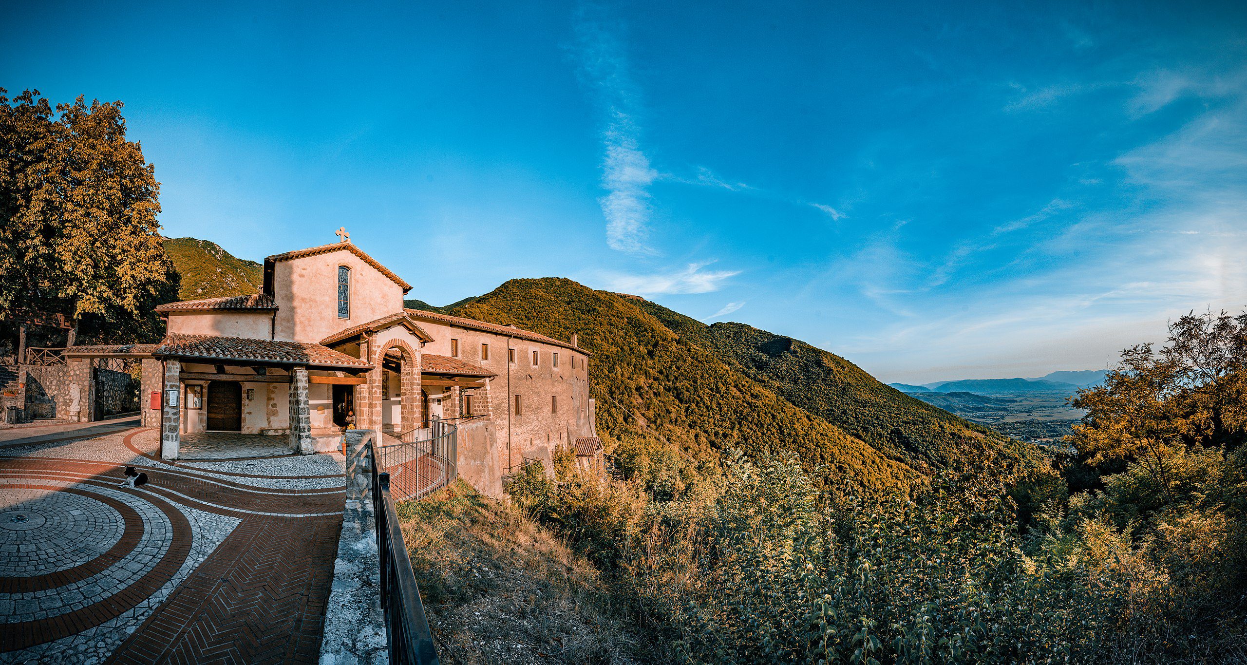
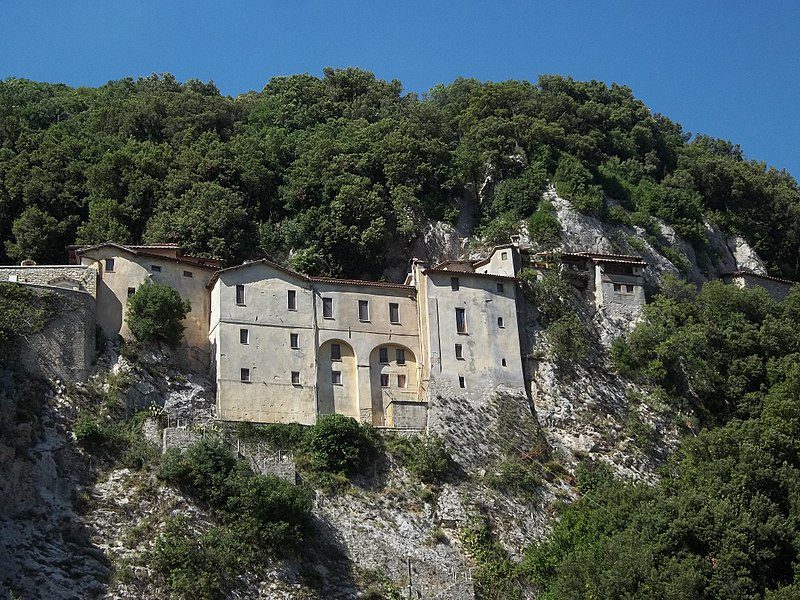
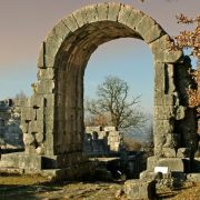
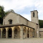
Al bivio (km 10,52) si prosegue a destra verso il borgo fortificato di Castel di Lago. Giunti in paese, al bivio (km 10,73), avendo sulla destra un albergo, si prosegue a sinistra. Superati i vicoli del paese (km 11,13), si prosegue su strada asfaltata e si intravede in distanza Arrone. Sulla destra appaiono le arcate del convento di San Francesco (km 11,7). In circa 1 km e dopo una leggera salita, si raggiunge la meta piacevolissima di oggi, Arrone (km 13).


