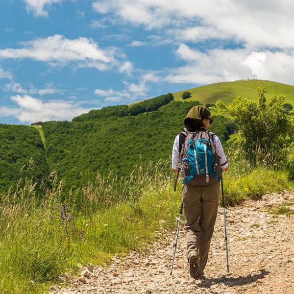
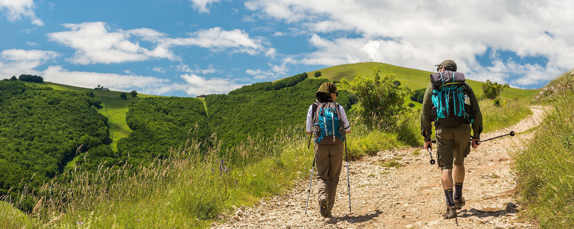
Tipo di itinerario: tematico
Partenza: Poreta
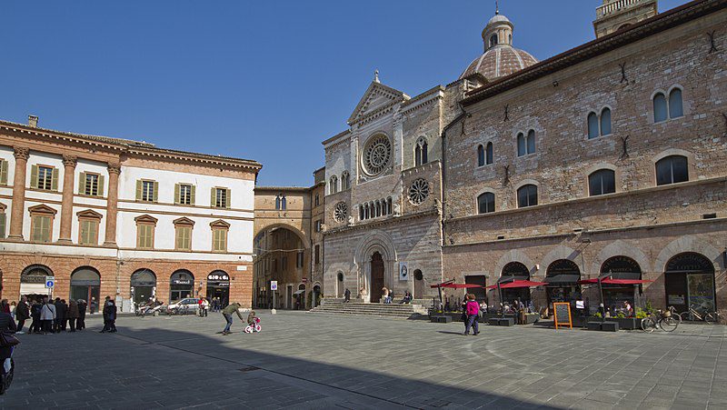
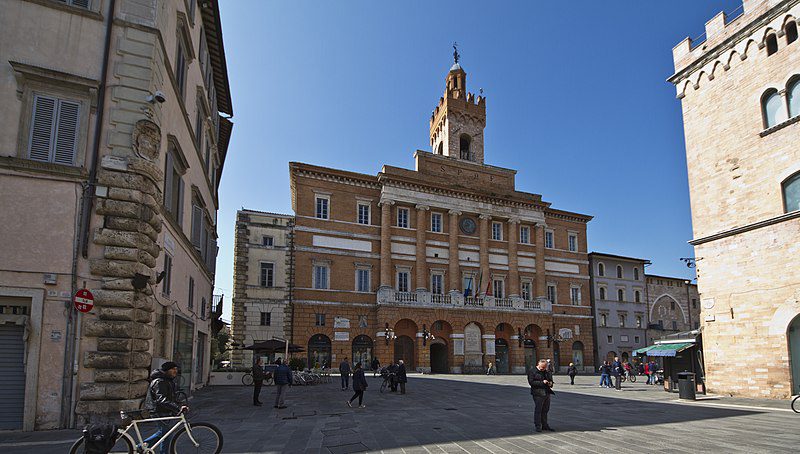
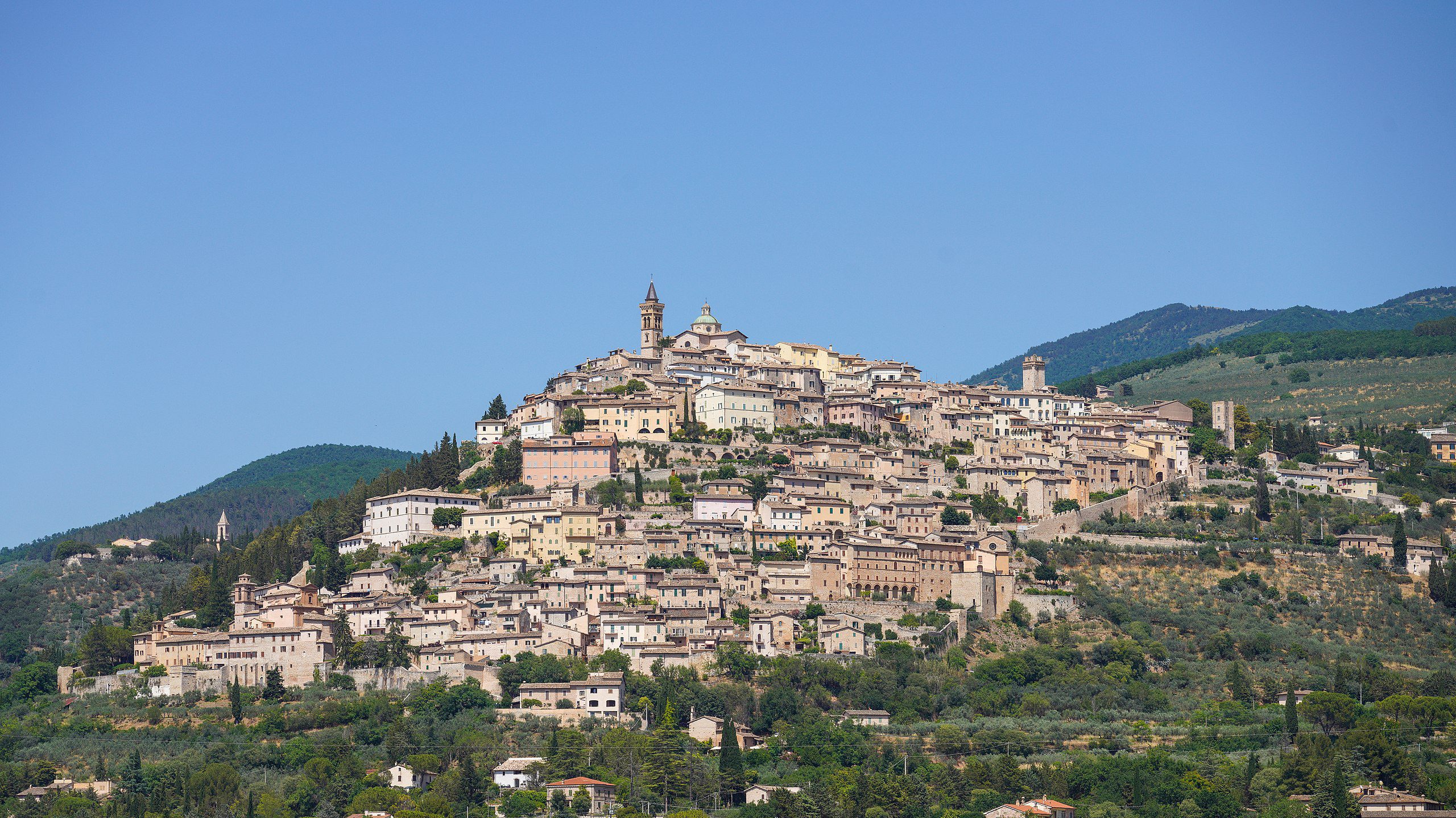
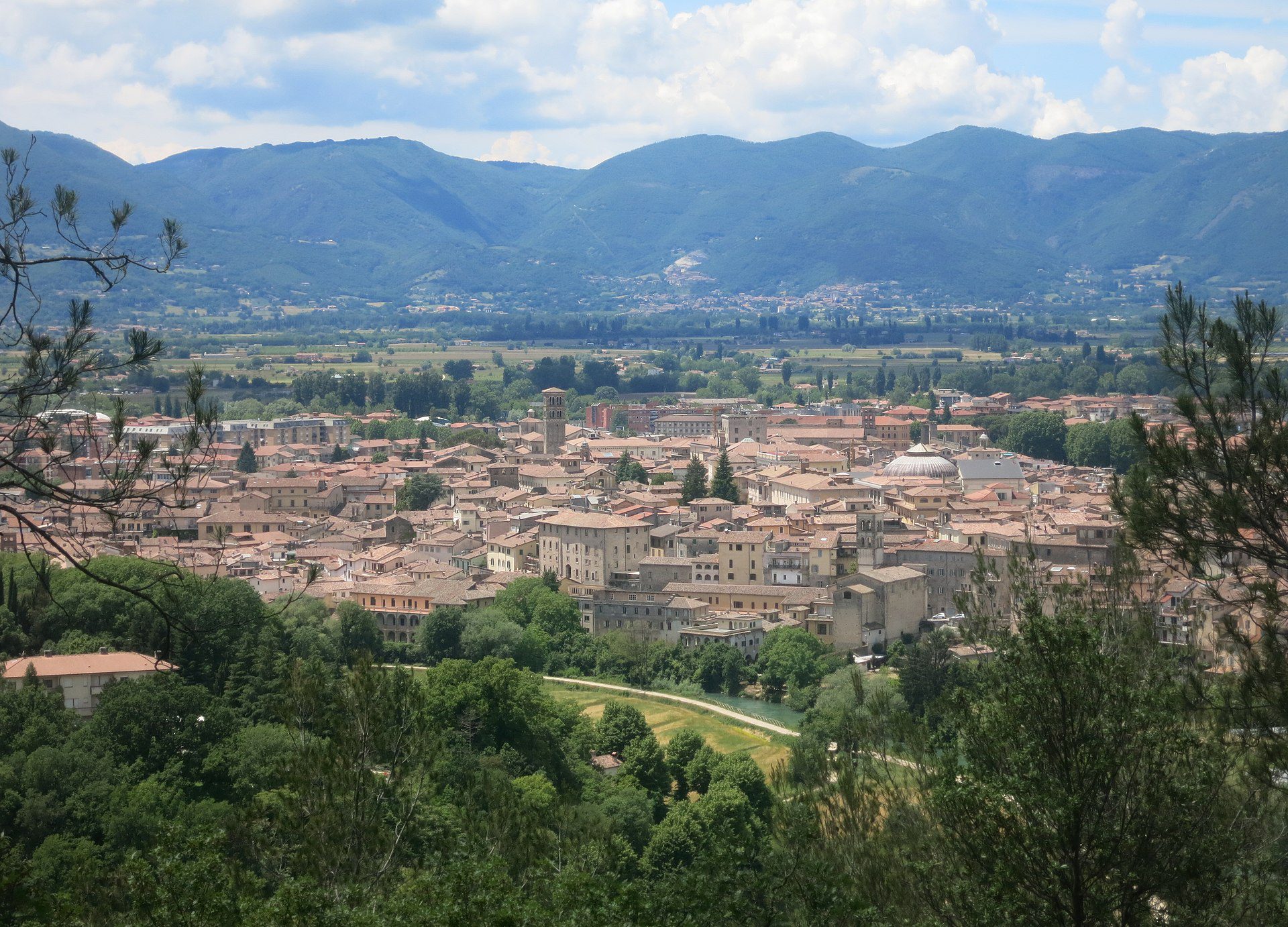
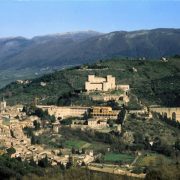
Arrivo: Trevi
Lunghezza (km): 12
Distanza: breve
Tempo di percorrenza: ore 4 min.
Difficoltà: escursionistico medio
Si parte dalla parte bassa di Poreta, lasciando alle spalle la Comunanza Agraria. Si prende in direzione nord, costeggiando un campo di calcio. Usciti dal paese, all’incrocio con la strada provinciale si scende a sinistra e alla prima deviazione, seguendo i segnali, si gira a destra su una strada sterrata (km 1,20).
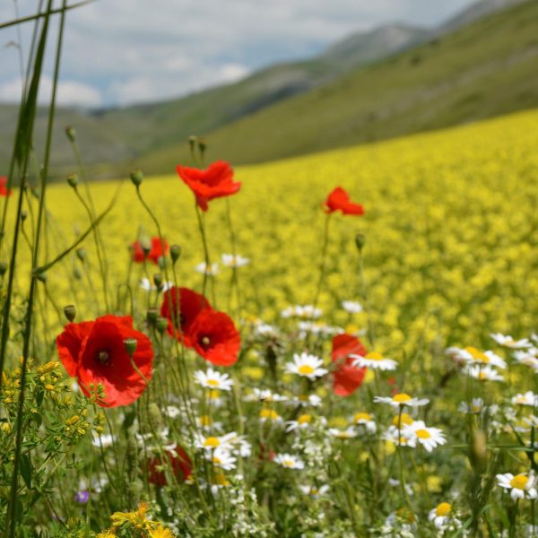
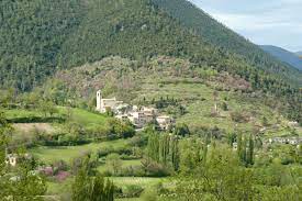
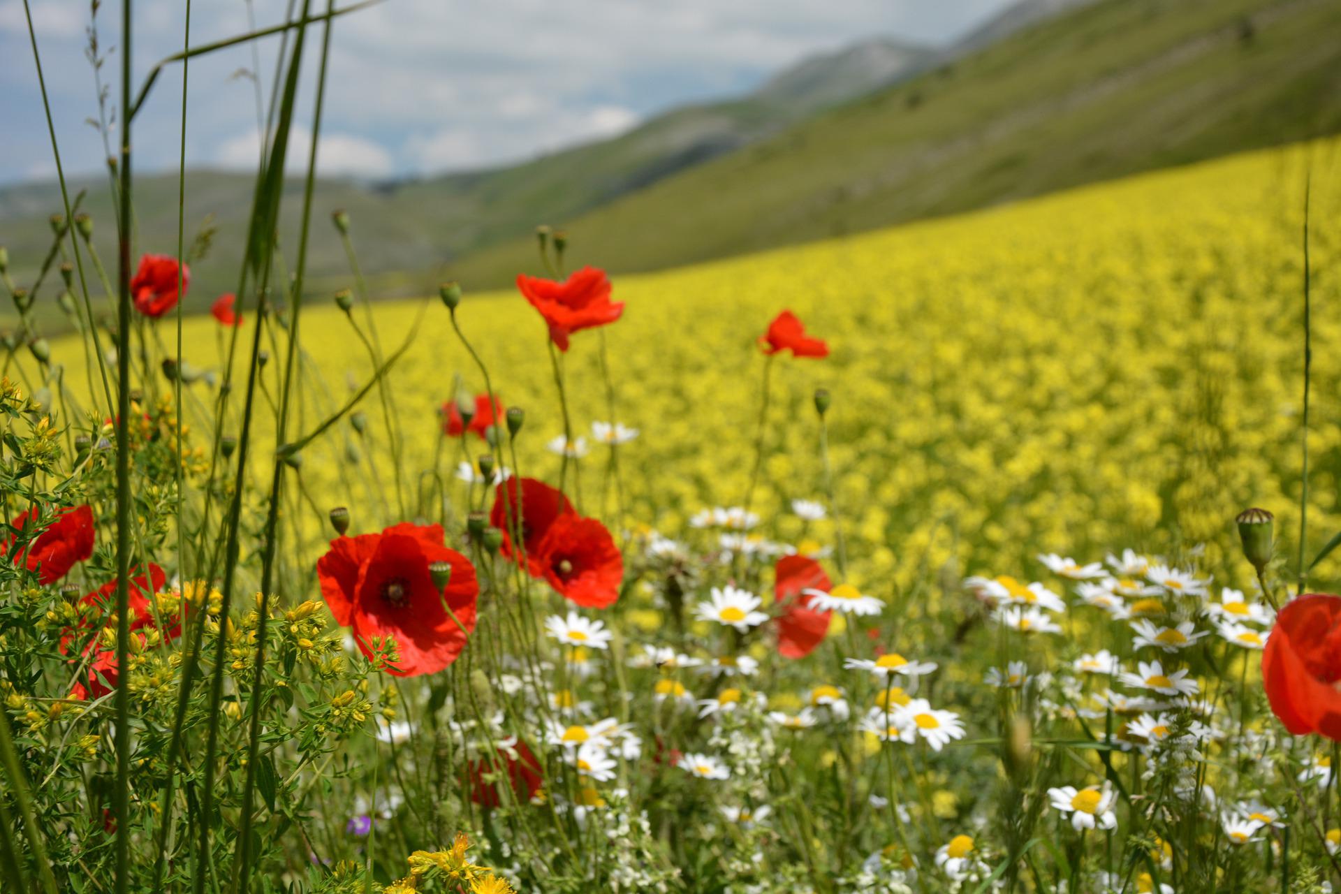
In breve la strada sterrata curva a sinistra in salita. Si cammina lungo i muretti a secco delle coltivazioni d’olivo delle colline dell’Umbria. Si riprende sulla tranquilla strada asfaltata, fino a giungere nella frazione di Lenano (km 2,65), dove c’è una fonte d’acqua. Superata una graziosa edicola, la cui presenza è uno dei segni distintivi delle campagne umbre, si prosegue in direzione di Campello Alto, riconoscibile per le candide mura circolari.
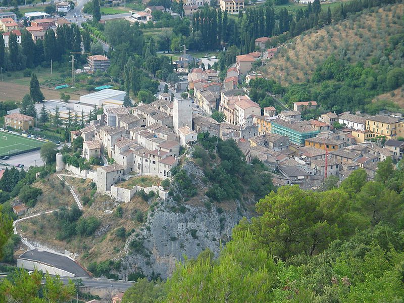
Si scende a sinistra su via Don Benedetto Fabrizi fino a giungere a Campello Alto (km 3,45), in prossimità del convento dei Padri Barnabiti. Seguendo le indicazioni per Trevi, si lascia la strada principale e si sale su via San Silvestro. La salita ha uno strappo in pendenza, per fortuna breve. Dopo circa 1 km riprende la comoda strada sterrata (km 4,5) e si cammina tra i grandiosi alberi di pino e i terrazzamenti delle piante d’olivo.
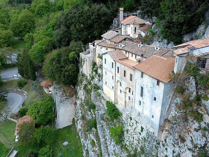
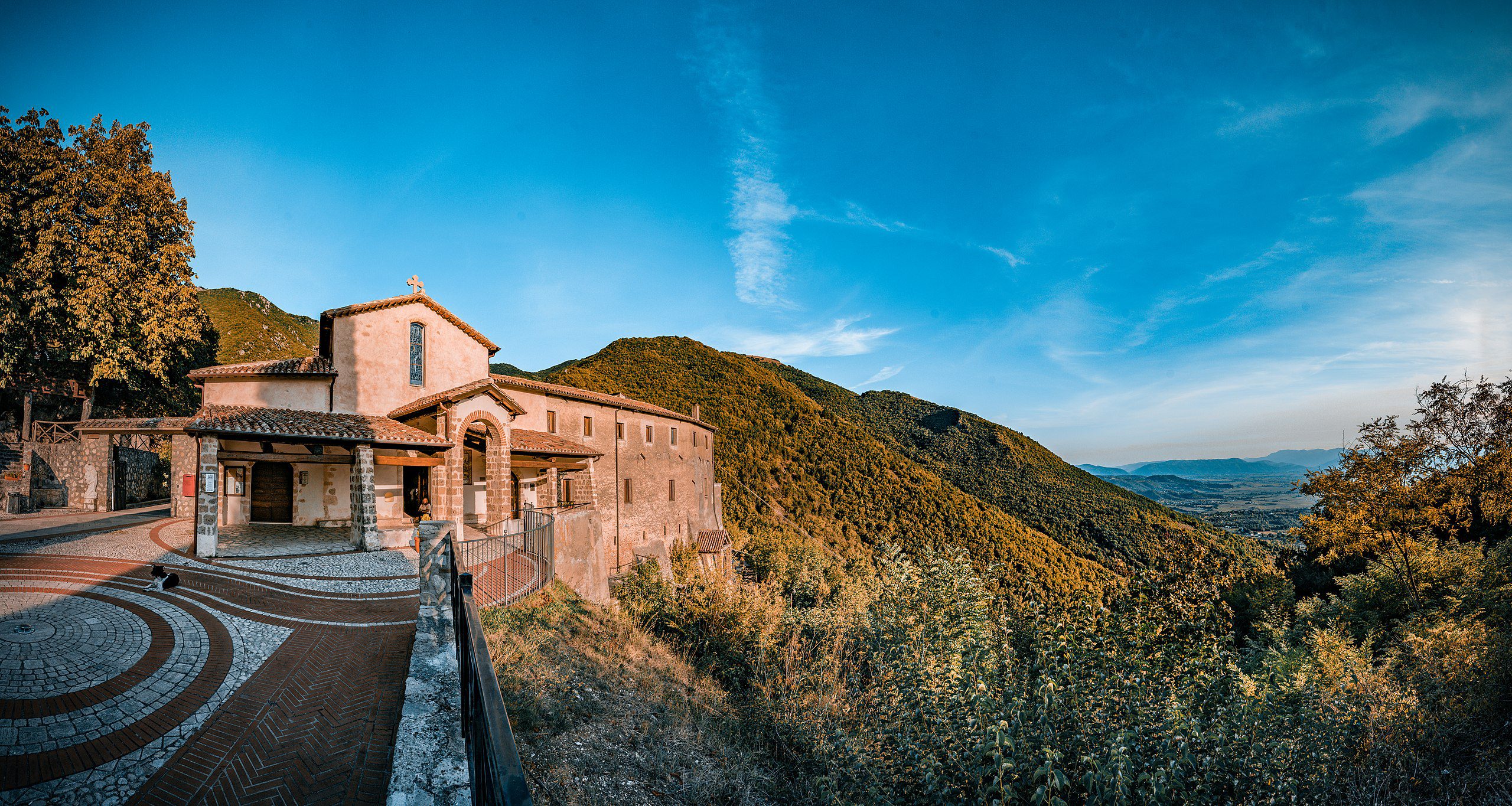
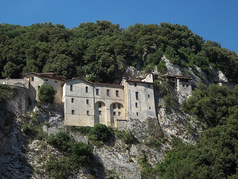
Si inizia a scendere e si intravede in distanza il grande muro che chiude l’eremo francescano delle Allodole.
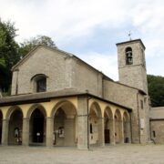
Giunti a una staccionata in legno, si sale prima su sentiero e poi su una carrareccia, attraversando fiorenti uliveti. In alcuni tratti il percorso è ciottoloso e ripido, ma con passo lento si affronta agevolmente, fino a giungere all’eremo francescano, detto delle Allodole (km 7).
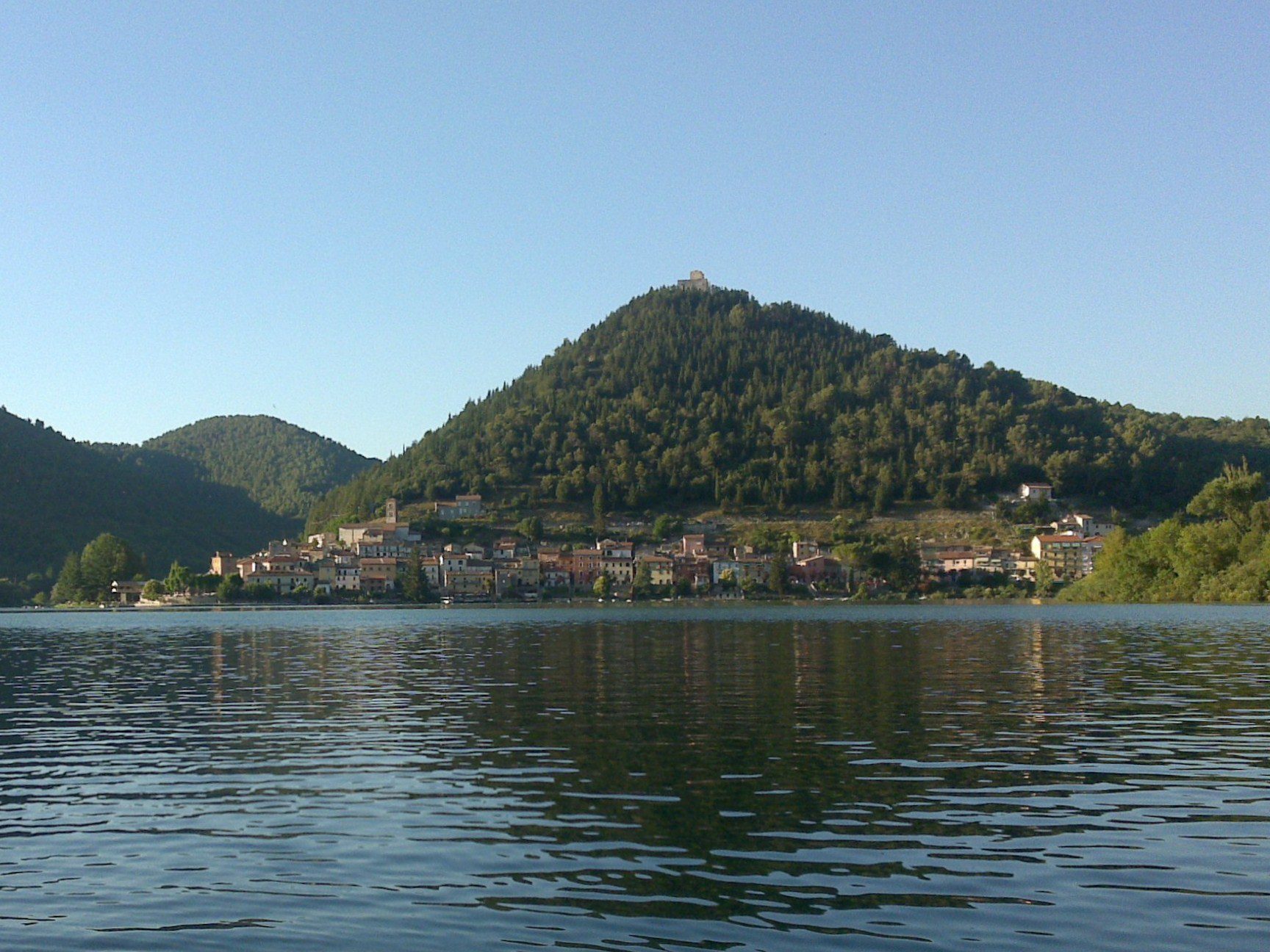
Si lascia l’eremo alle spalle e si prosegue sulla comoda carrareccia; prima di giungere al cancello di una proprietà privata, si fa attenzione a prendere a sinistra, costeggiando la recinzione, sulla destra. Superata la località I Falcioni si ritorna su asfalto e si raggiunge la località i Camponi, dove si trova una fonte d’acqua. Si scorge in lontananza l’abitato di Bovara, luogo della visione di Fra’ Pacifico.
Si continua a scendere per attraversare l’abitato di Alvanischio (km 9,6). Superato un incrocio, si giunge in località La Croce, dove si gira a destra e si prosegue per un breve tratto su asfalto. Al segnale giallo-blu si gira a sinistra su carrareccia sterrata e inizia il piacevole tratto verso Trevi.
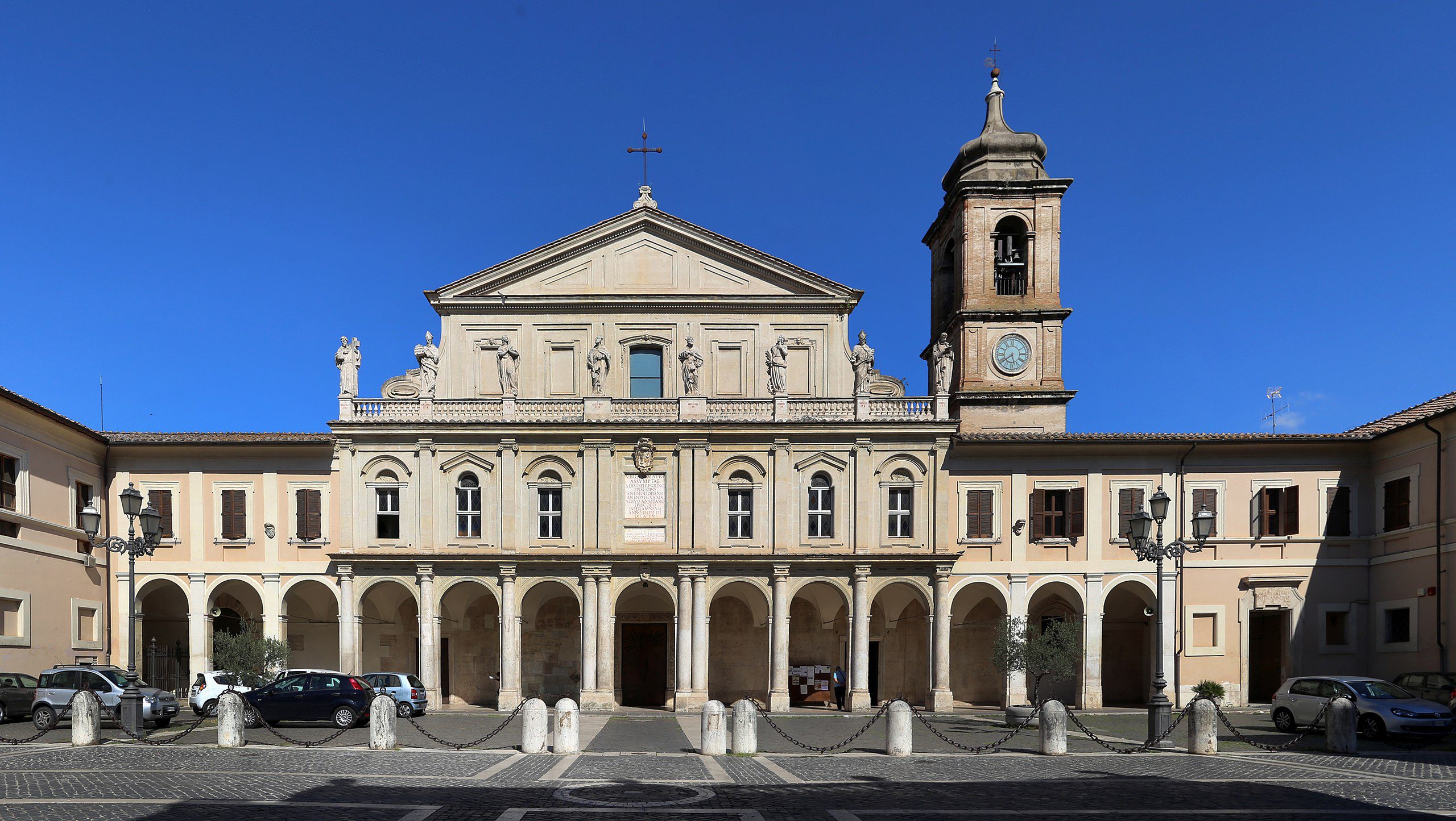
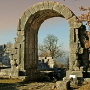
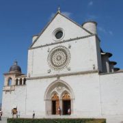
Superato il muro di cinta del santuario della Madonna delle Lacrime, che vale una visita, si raggiunge l’antica porta d’accesso del centro storico di Trevi (km 12). Da qui si può entrare nella città e risalire lungo le scalette dei vicoli del centro, oppure si lascia la porta sulla sinistra e si sale su strada, costeggiando le mura esterne dell’antico comune.


