Departure: Scheggino
Arrival: Monteluco
Distance: 31.5 km
Altitude change: 1,000 m
Difficulty: difficult
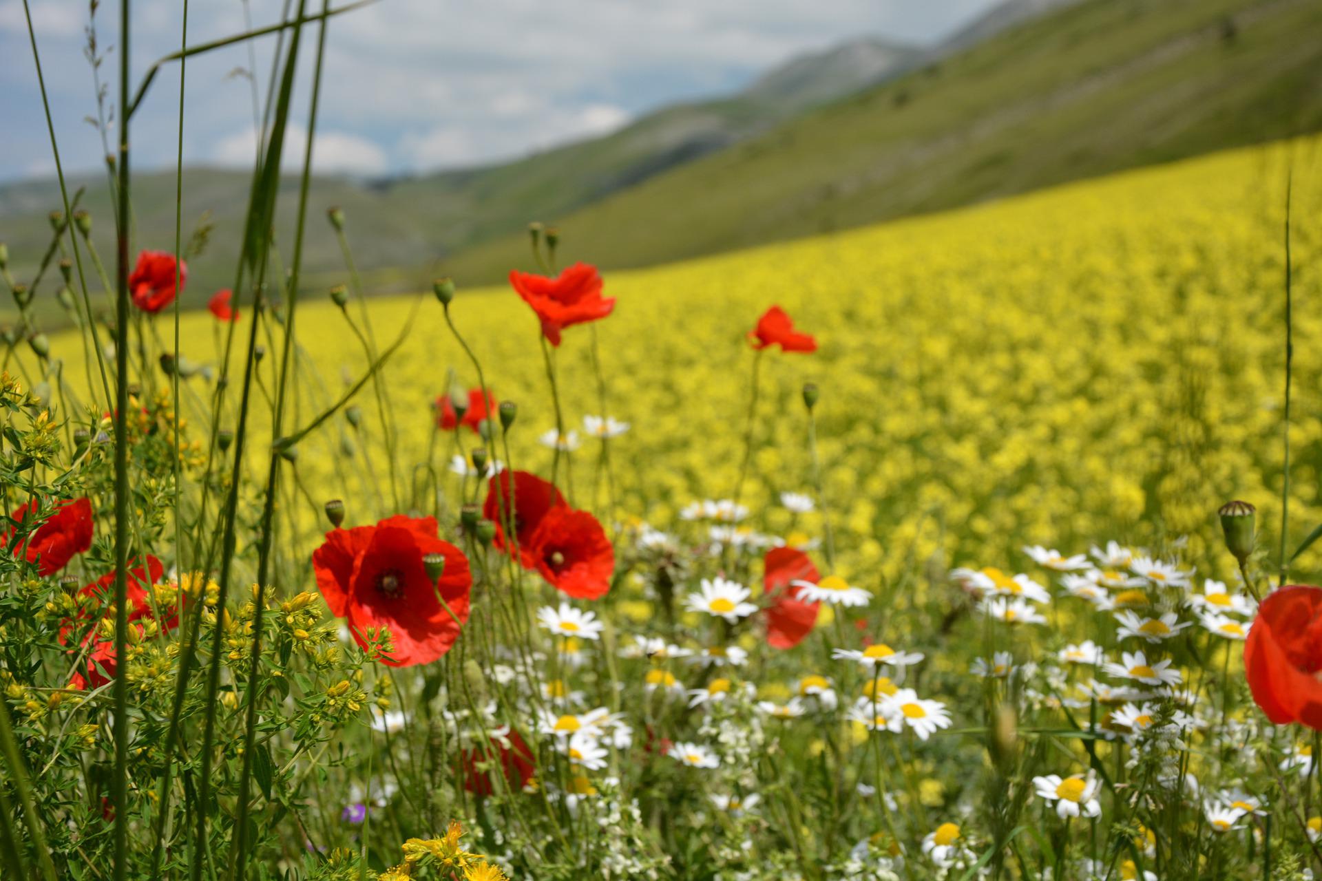
Terrain: asphalt road
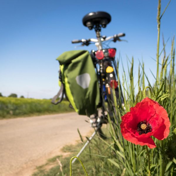
Recommended bike: road or all-terrain
Km 0 Depart from Scheggino, traveling along the Valnerina towards Visso and Forca di Cerro.
Km 2.7 At the crossroads, continue straight towards Cascia. Continue straight through the following crossroads. Turn right to visit Sant’Anatolia di Narco.
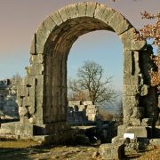
Km 4 Castel San Felice. Turn left towards Reggiano. Beginning of tough climb, with stretches steeper than 10%. Water fountain on the right.
Km 6.7 At the crossroads, turn left towards Spoleto. The climb continues, but less steep.
Km 11.6 Forca di Cerro. End of climb.
Km 14.8 Views of the historic railway bridges along the former Spoleto-Norcia line.
Km 18.2 Continue straight downhill towards Spoleto.
Km 20.8 End of descent. Continue left towards Spoleto; at the next traffic circle, turn left towards the historic center, keeping watch for traffic
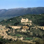
Km 21.7 At the traffic circle, continue straight towards the center and straight again at the next intersection. Enter Spoleto through Porta Garibaldi. Immediately afterwards, continue uphill on Via dell’Anfiteatro, following the signage for “centro”.
Km 22.7 Continue uphill to the left, towards the centro.
Km 23.1 At the intersection, contine right on Via Tobagi. Cross the center, reaching Piazza della Libertà, and continue along Via Matteotti to leave the historic center. At the intersection, continue straight, turning left after 200 meters.
Km 24.3 At the intersection with the SS3 Flaminia, cross and continue straight towards Monteluco, being careful of traffic. Beginning of climb.
Km 31.5 Monteluco. End of climb. End of leg.


