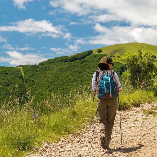
DISTANCE: 22 KM
ROAD: 8,05 KM
TRACK: 8,73 KM
PATH: 5,22 KM
TIME: 7,30 ORE
GRADE: EASY
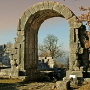
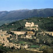
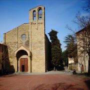
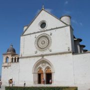
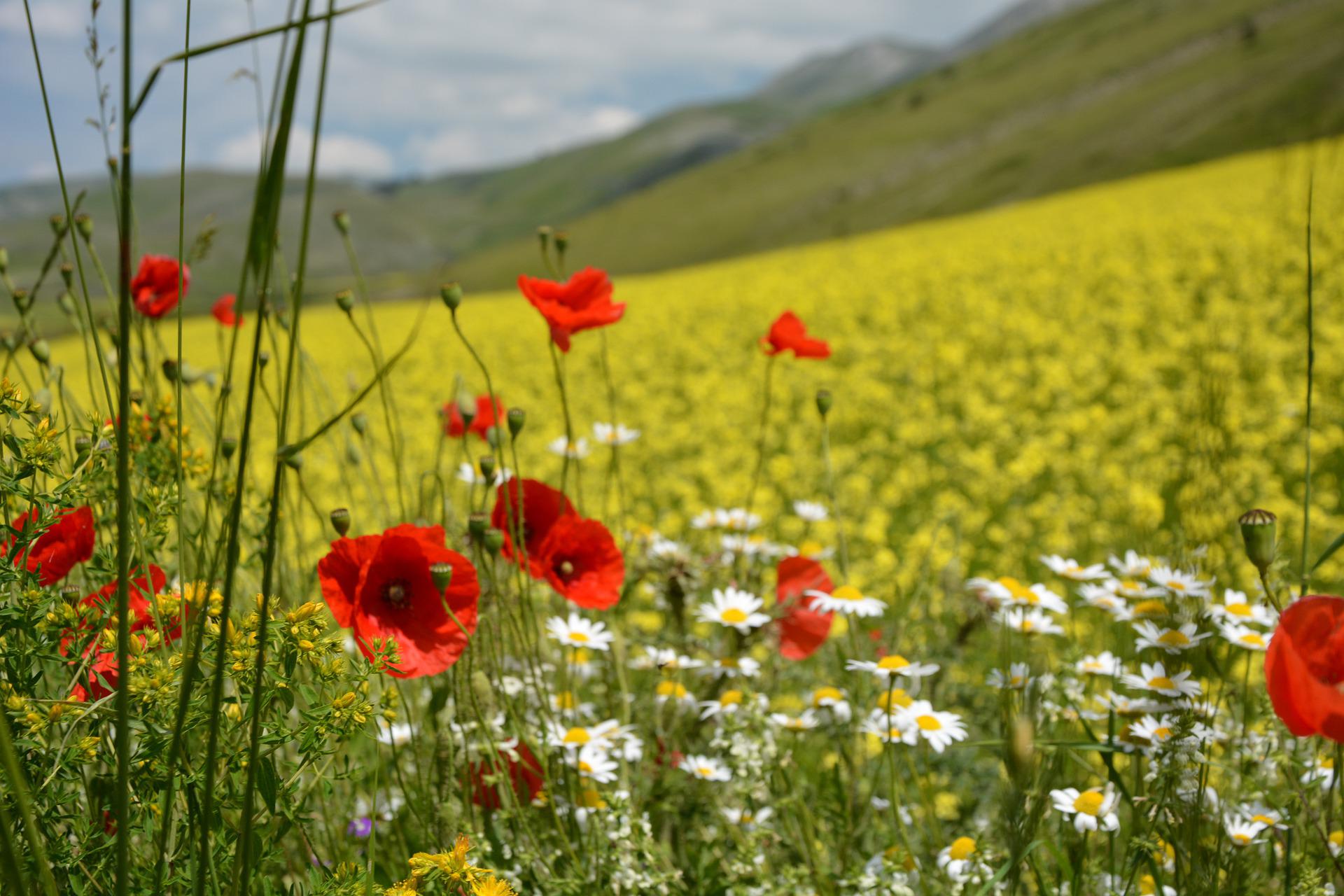
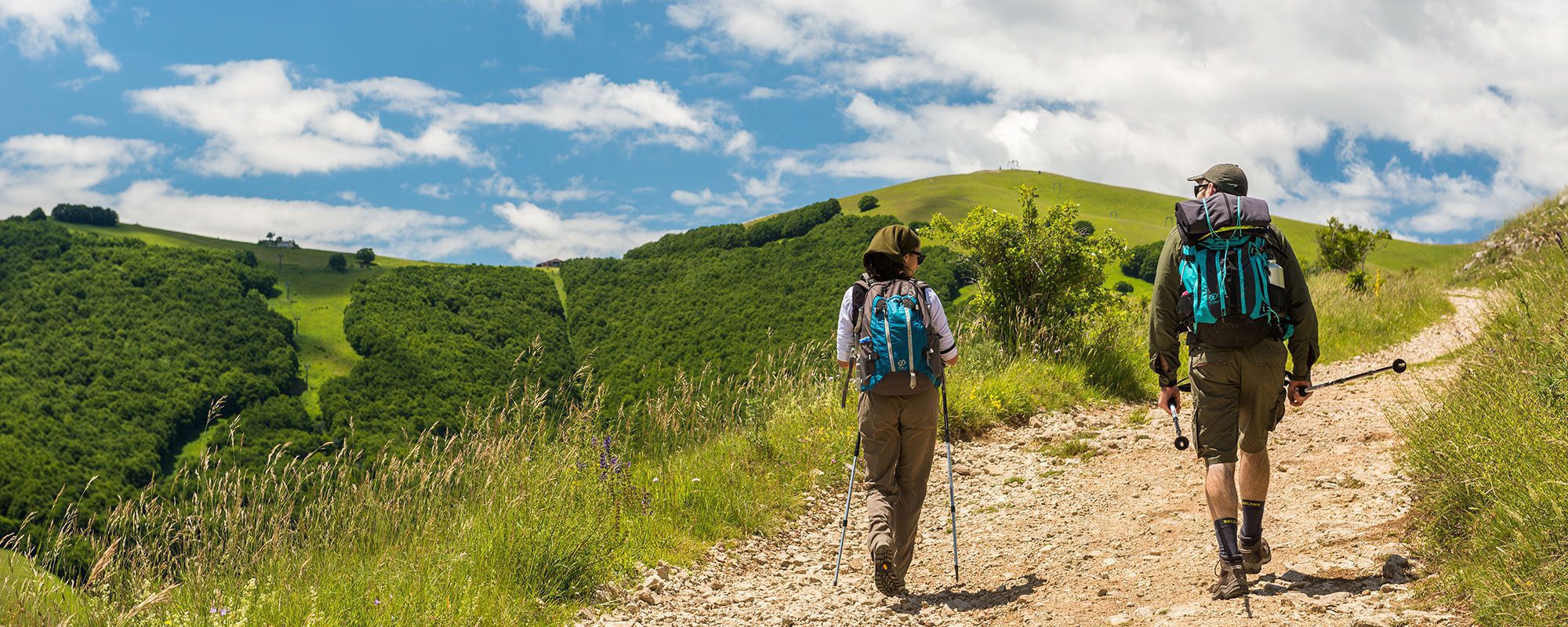
From Sarnano you descend via San Rocco, at the end of which, after crossing the bridge over the river Tennacola, begins a path that climbs to the village of Morelli. Cross the village and at a small shrine turn left. The path proceeds along a dirt road until reaching Grassetti (800 meters), where you take the old path of Mercatali that runs for about 1 km. The path enters another dirt road near the village of Pianelle; turn left and follow the dirt road for 2 km then turn sharply to the right on an ancient Roman road, with frequent stretches of cobblestones, which leads to the hamlet of Taccarelli (1.5 km). From the intersection at Taccarelli go straight. The road again becomes tarmac and enters the town of Amandola. You pass through the villages of Le Piane and Casa di Carlo to get to Amandola along the Via Aldo Moro. After crossing highway 78 head left up the road which leads to the Capuchin Monastery on your left until the road crosses the highway. There you enter the main square of Amandola. From here the road descends downhill for about 50 meters where you take a staircase on the right that leads to the via Pignotto, which after 200 meters becomes a dirt road leading to the Tenna river valley. You cross a Romanesque humpback bridge and go up the other side to reach the factories of the Piandicontro industrial area. Crossing highway Z.I. from west to east you take a right turn onto the dirt road that after 200 meters turns left and becomes a path. It crosses a tributary of the Tenna over a Roman bridge hidden by vegetation to then proceed up the hill to the ridge at the east of the SS78 until reaching the Franciscan hermitage of Madonna delle Grazie. From there, along dirt roads, you reach the home where Salvi lived and immediately after that the village of St. Peter in Castagna. From the church square, turn left and after crossing two rural lodgings, the path climbs right. After 600 meters, at the junction turn right on the asphalt road for about 500 meters until you reach a another junction; proceed to the left on a paved road which shortly becomes a dirt road. Carry on until you reach the asphalt heading down to Monte Genco 2.9 km distant. At the turning to Monte Genco take the dirt road that leads to the village 750 meters away. There, on your right, is the entrance to the path leading to the municipality of Comunanza.


