Departure: Trevi
Arrival: Foligno
Distance: 13 km
Ascent from Departure: + 312 m
Descent from Departure: – 482 m
Difficulty: easy
Terrain: gravel & asphalt road
Length: 4 hours
Potable Water: yes (Trevi, Collecchio, Matigge, Sant’Eraclio, Foligno)
Rest Stops: yes
Signage: yes (vertical and horizontal yellow & blue Via di Francesco)
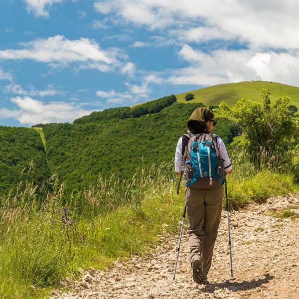
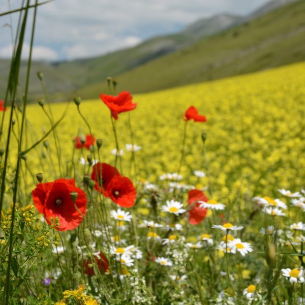
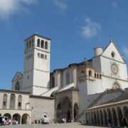
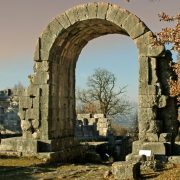
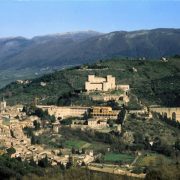
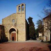
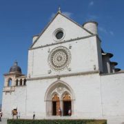
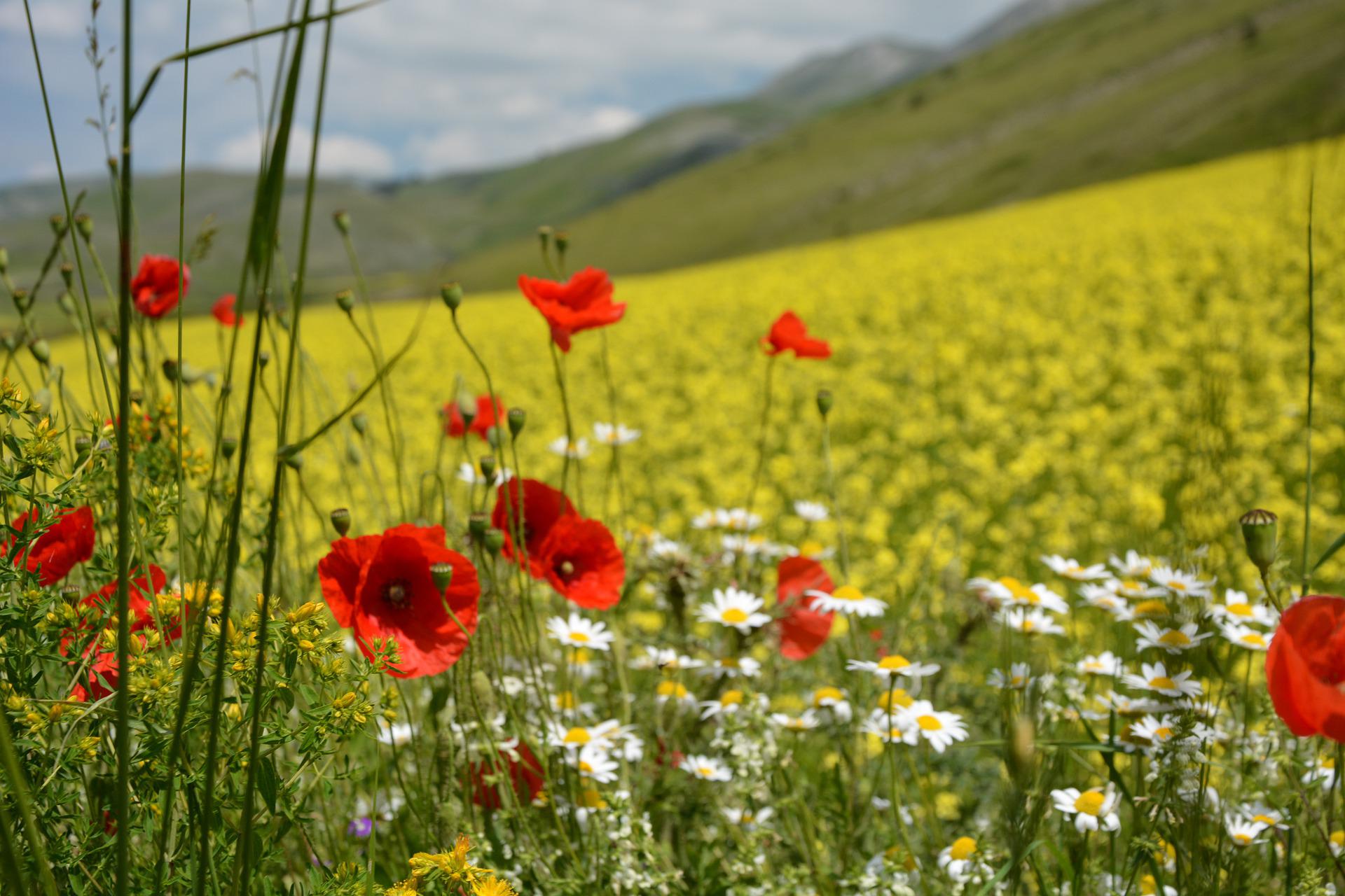
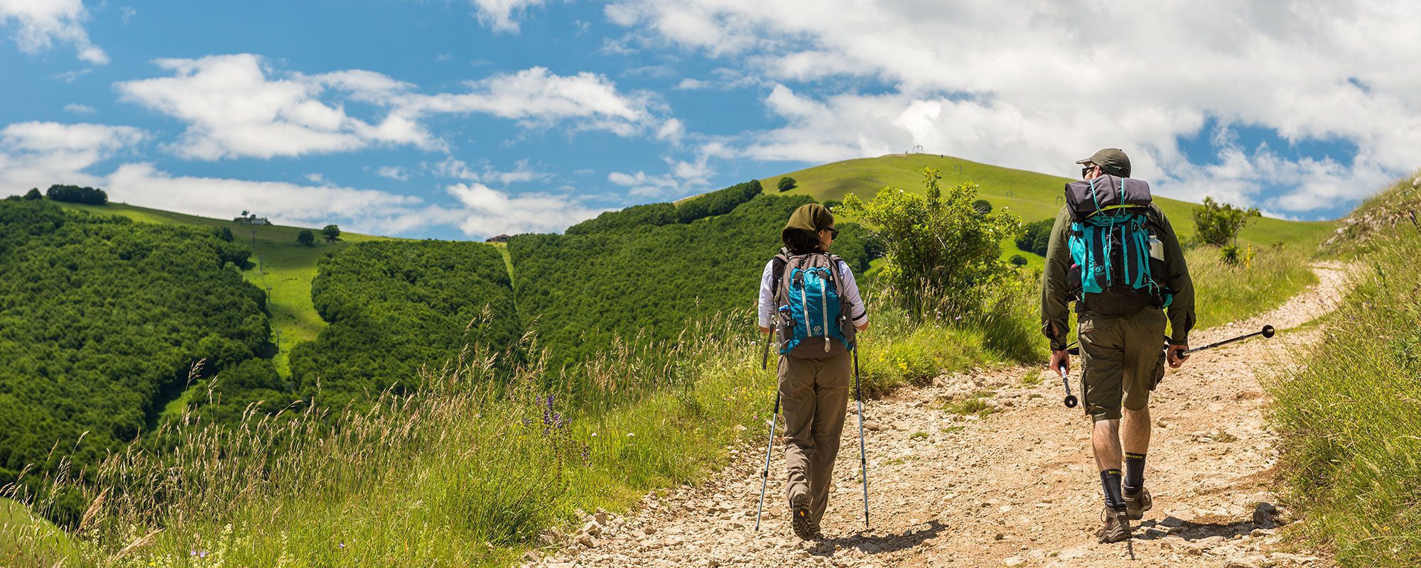
Leave the large modern square in Trevi, passing the Bar Chalet on the left and picking up the tree-lined Via Ciuffelli. On the right, you will pass the large Franciscan convent of San Martino (km 0.74) and reach a scenic overlook, from where you can see the Umbrian Valley and the cities of Foligno, Spello and–finally! – Assisi. Continue on; after 100 meters, turn left on a trail leading downhill. The first stretch is rough and rocky, but short. After passing a portal with an antique fresco of Virgin and Child, you will pick up the asphalt road and continue downhill to the water fountain with a wash trough, where you will turn right and then right again onto an unpaved road. The view over the hills covered with terraced olive groves is particularly beautiful here. At the Chiesa di Sant’Antonino della Valle (km 1.9), turn downhill to the left on Via Collecchio. Pass through Collecchio, with its pretty votive shrines and water fountains. At street number 50, turn right to exit the town following the signage. The route through the countryside alternates between asphalt and unpaved road, but continues under the direct sun (remember a sun hat and water), meeting up at a few points with the asphalt road. Pass Via dei Giardini (km 2.8); at the intersection with Via Venezia (km 3.2), cross the road and climb along a tractor track toward a country church set on an olive tree-covered hill in località San Clemente. The route continues pleasantly, though on the plain below you begin to see signs of modernity: the Flaminia highway and large industrial sheds. On the opposite hill, you can see the town of Montefalco. Continue on a gradual downhill route, passing a number of pretty shrines dedicated to Maria which are so common in the Umbrian countryside. At the crossroads, you will find a shrine with an oriental-style Madonna on the right; continue downhill. At Matigge (km 4.2), there is a cafè and restaurant to stock up on food and water. With the bar at your back, continue downhill along the asphalt road. At the first fork, turn right to San Niccolò. At the entrance to a villa, turn left onto the plain. When you reach a curve, leave the asphalt road and continue straight along the mule track which leads first into a wood and then through an olive grove, until reaching Vocabolo Formoni (km 6.8). Along this rolling route through vast groves of olives, the route reaches Sant’Eraclio (km 9). At this historic stop along the Via Flaminia you will find a water fountain and a number of cafès and restaurants. Enter the historic center through the Medieval city gate, cross the length of the town, and then turn right on Via Roma, which leads to Foligno in 2.5 kilometers along a level, asphalted stretch of road, which can be particularly hot in summer. At the traffic circle, continue towards the “Compy” shopping center, being careful of traffic. Use the sidewalk along this—unfortunately—busy road. At the next traffic circle, continue straight and keep left. You will reach Porta Romana and the historic center of Foligno (km 13) shortly. Walk the length of the elegant Corso Cavour to reach the famous piazza of the Duomo di San Feliciano, where a plaque commemorates the episode in which young Francis, still a merchant, sold his father’s textiles here to earn money for the restoration of the San Damiano church.


