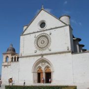
Departure: Poggio Bustone
Arrival: Piediluco
Distance: 22 km
Ascent from Departure: + 566 m
Descent from Departure: – 1013 m
Difficulty: difficult
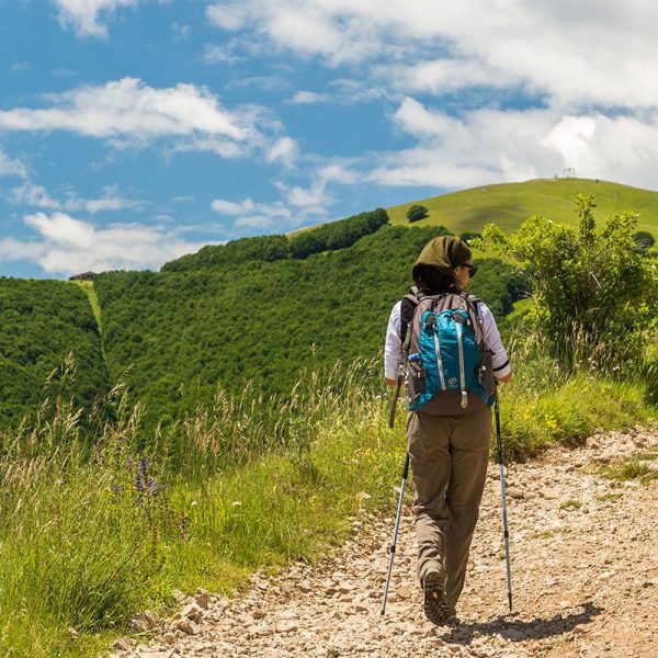
Terrain: gravel & asphalt road; earthen trail
Length: 7 hours
Potable Water: yes (Poggio Bustone, Cepparo, Colle Rucciolo, Labro, Piediluco)
Rest Stops: yes
Signage: yes (wooden and horizontal yellow & blue Via di Francesco, horizontal red & white CAI)
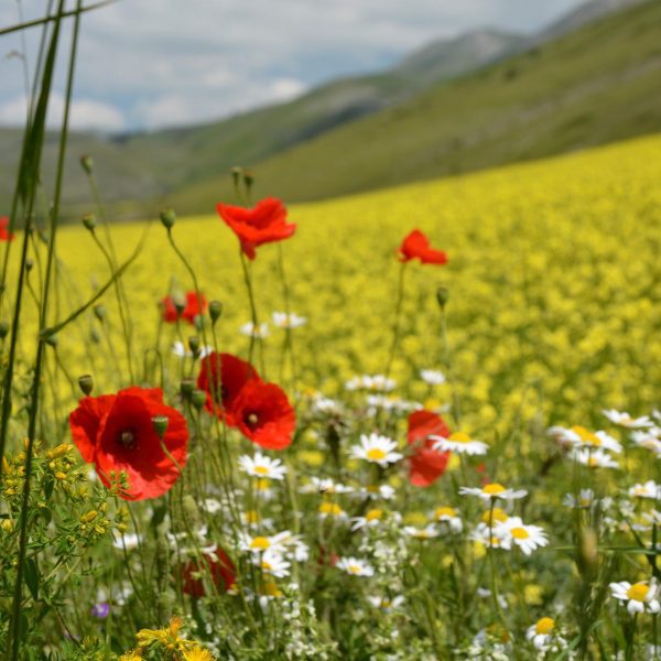
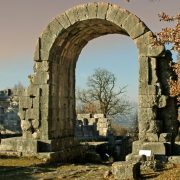
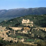
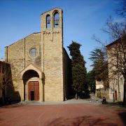
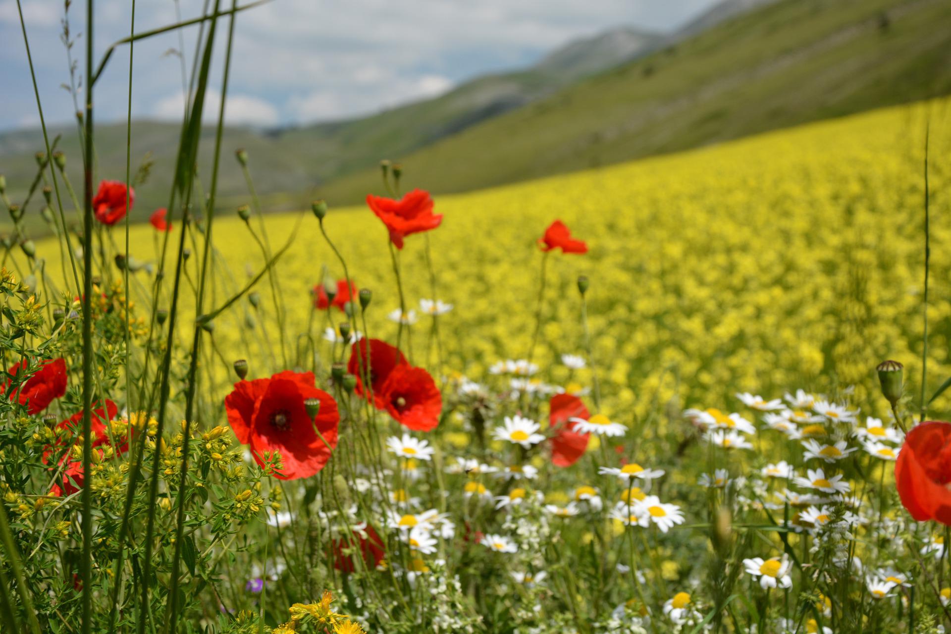
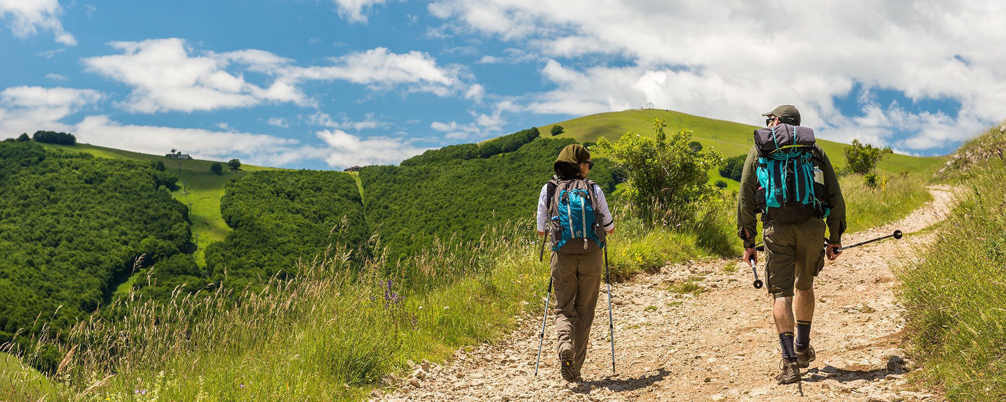
Leaving the sanctuary of Poggio Bustone behind you, continue straight along the level road, passing the uphill road to the right and the road to the left which leads back to town. After 500 meters, keep right at the fork, climbing Via delle Casette, marked by wooden signage. After 700 meters, be careful to descend to the left at the crossroads (km 1.3); afterwards, follow the signage straight. Continue along this easy unpaved road, ignoring the crossroads and enjoying the lovely views over the Lungo and Ripasottile lakes on the Piana Reatina. At the fork (km 3.87), descend to the left, crossing the creek bed of the Fosso di Trifoglio. Shortly afterwards, descend to the left along Strada Comunale del Cepparo. Leave the road at the curve, climbing to the right to reach Cepparo (km 5.44), where there is a water fountain. Pass through the town, continuing to climb. The landscape is a patchwork of woods and pastures, dotted with barns and sheds. At the curve (Km 7.05), the more athletic can take the trail to the right–marked by a wooden pole–which climbs steeply along the hillside. Otherwise, continue along the asphalt road, which is about 2 kilometers longer but less steep. The steep trail climbs for about 700 meters, crossing the asphalt road. The routes meet up near a wooden cross (km 7.95). After the cross, descend to the left on a shady path to the Faggio di San Francesco (km 8.14). Climb along the trail to a small church (closed) along the road and turn back to the cross (km 8.5). With the cross on your right, continue downhill on the trail to the left, keeping careful watch for the yellow signage on stones and trees. The marked trail descends easily among meadows and juniper bushes. After passing a small plateau (km 9), the trail curves to the left toward the Piana Reatina and widens into a tractor track. At the asphalt (km 10.82), the descent becomes steep and the terrain alternates between stretches in asphalt and dirt. In front of the cafè-restaurant, turn left at the crossroads towards Morro Reatino. Follow the asphalt road through the villages of Le Casette (km 12.14) and Alvano; turn right here for Scilga. After the cemetary, descend until Via della Pozzolana, turning left. Where the dirt road becomes asphalt, turn right towards Colle Rucciolo. At the bus shelter–where there is a water fountain–, turn left then immediately right towards il Monte. Keep watch for a house surrounded by a blue fence (km 15.03), where you will turn right onto a mule track, then immediately left. Back on the asphalt road (km 15.39), continue climbing straight to Labro (km 15.87). After visiting the village, leave by Porta Reatina and, at the wooden fence, take the stairs down to the right. On the way down, pass the Fonte vecchia and turn right onto the steep trail. You will come out in front of a house (km 16.86) and the route levels out. In the distance you will begin to see the castle of Piediluco. Continue along the well-marked road, ignoring the crossroads. At Vocabolo Valle Spolentina (km 18.37), a historic way station between the Papal State and the Kingdom of Naples, you will meet the busy SS79. Turn right towards Piediluco. (There is a water fountain here.) This stretch is short; after 400 meters you will turn left towards the lake. The scenery changes here, as the lake creates an atmosphere of peace and tranquility. Walk along the shore, passing a campground and then the Circolo Canottieri di Piediluco. Shortly after the boat club, you will meet back up with the asphalt road and, after a few hundred meters, enter the historic village of Piediluco and the Santuario di San Francesco (km 21).


