10° leg: Foligno – Assisi (South itinerary)
Stage description
Departure: Foligno
Arrival: Assisi
Distance: 20 km
Ascent from Departure: + 504 m
Descent from Departure: – 372 m
Difficulty: easy
Terrain: gravel & asphalt road
Length: 5 hours
Potable Water: yes (Foligno, Spello, Maestà di Mascicone, Assisi)
Rest Stops: yes
Signage: yes (vertical and horizontal yellow & blue Via di Francesco)
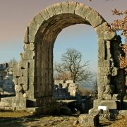
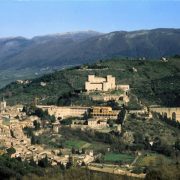
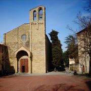
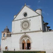
From Piazza della Repubblica, take Via XX Settembre. Cross Piazza San Giacomo– where the church of the same name, patron saint of pilgrims, is located—and cross the bridge over the Topino River. Once you’ve exited the city walls, continue along Via Firenze to the traffic circle with the tiny church in the center; continue straight along this road, which is quite busy. At the signage for “Via di Francesco”, turn right on Via Spineto (km 2.25) at the red sign for an auto dealership. After the railroad crossing and the highway underpass for the SS Flaminia at Ponte della Chiona (km 2.8), the route continues through the silent countryside. At the campground (km 4.25), turn left. In less than 2 kilometers, you will reach Spello, passing through the monumental Porta Consolare city gate (km 6). Climb Via Consolare and then Via Cavour to Piazza Garibaldi (km 6.5). It’s worth a stop to visit this town, rich in art and architecture. Continue climbing along Via Garibaldi, turning right onto Via Giulia to reach Piazza Gramsci and, keeping left, Piazza Vallegloria, with its beautiful monastery of the Poor Clares. Exit the city through Porta Montanara (km 7.2), continuing along Via Poeta. At the crossroads, pass Via Bulgarella and continue climbing straight until the next crossroads (km 7.6). Turn left at the cross, passing Via Fontemonte. A few meters after the strine, turn right at the next intersection (km 9) onto Via degli Ulivi. This is a pleasant stretch with beautiful views onto the Valle di Assisi below. The route alternates between stretches of asphalt and dirt until reaching the Maestà di Mascicone (km 9.6), a shrine covered in ex-votos where there is a water fountain. Stay on Via degli Ulivi, passing two shrines and then climbing to the right on Via Renaro at the intersection. Continue climbing for around 700 meters; at the curve, leave the asphalt road and turn left on a climbing country lane. This is the only steep climb of the leg. After passing a group of houses, pick up the asphalt road again, making a hard right onto Via Gabbiano. After a short climb, turn left onto Via Fosso di San Benedetto (km 12.5). You will be walking with the uncontaminated nature of wooded Mount Subasio to the right, the man-made landscape of olive groves to the left, and the belltowers of Assisi in the distance ahead. Pick up the asphalt road again, pass the water fountain, and continue straight along Via Borghettaccio (km 15.2) at the intersection marked by a shrine. You will come out of a curve; continue straight along Via Fosso delle Carceri and Via San Benedetto, which continues into Via Madonna dell’Olivo. Pass the Belvedere del Buon Ladrone (km 16.6) and enter into the Assisi town center, keeping watch for traffic. After a steep downhill stretch, continue straight through the traffic circle, climbing Via Properzio to the Porta Nuova city gate (km 18.4) and entering Assisi. The route takes you through the Medieval streets of the center, first Via Borgo Aretino to the Basilica di Santa Chiara (km 18.8), and then along Corso Mazzini to the Piazza del Comune with its Roman Tempio della Minerva. Continue down Via Portica, Via Fortini, Via del Seminario and, finally, Via San Francesco to reach your journey’s destination: the Tomba di San Francesco in the Basilica Inferiore di San Francesco (km 20).


